
Telephone/STD code 033 Area 107 km² Area code 033 | Time zone IST (UTC+5:30) Population 294,628 (2011) | |
 | ||
Barasat I is a community development block that forms an administrative division in Barasat Sadar subdivision of North 24 Parganas district in the Indian state of West Bengal. Barasat police station and Duttapukur police station serves this block. Headquarters of this block is at Chhoto Jagulia.
Contents
Location
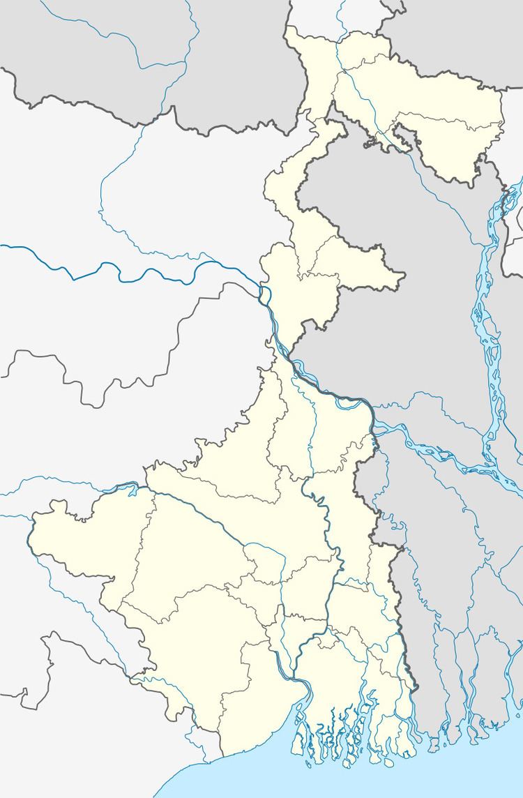
Barasat I block, is located at 22°46′02″N 88°32′29″E.
Barasat I CD Block is bounded by Habra I, Habra II and Amdanga CD Blocks in the north, Deganga CD Block in the east, Barasat II CD Block in the south and Barrackpore II CD Block in the west. The Barrackpore industrial area with such municipalities as New Barrackpore, Madhyamgram and North Dumdum is In the west, and Barasat municipality is in the south.
Area
Barasat I CD Block has an area of 106.97 km2.
Physical features
North 24 Parganas district is part of the Gangetic delta, lying east of the Hooghly River. The country is flat. It is a little raised above flood level and the highest ground borders the river channels. The rivers in the district were formerly distributaries of the Ganges but their mouths have long been filled up and blocked. The area is described as a sort of a drowned land broken by swamps. Land in the north-east of the district is higher than that of the rest of the district. The sturdy peasants raise crops of rice, jute and sugarcane from the alluvial soil. There are clumps of palm and fruit trees in which village homesteads nestle. Industrial activity is concentrated in the narrow strip of land along the Hooghly River. The south-eastern part of the district gradually merges into the Sunderbans. Parts of the metropolitan city of Kolkata extend over southern part of the district.
Gram panchayats
Gram panchayats of Barasat I block/ panchayat samiti are: Chhoto Jagulia, Ichhapur–Nilganj, Kotra, Purba Khilkapur, Dattapukur I, Kadambagachhi, Paschim Khilkapur, Dattapukur II and Kashimpur.
Demographics
As per 2011 Census of India Barasat I CD Block had a total population of 294,628, of which 175,226 were rural and 119,402 were urban. There were 150,919 (51%) males and 143,709 (49%) females. Population below 6 years was 31,333. Scheduled Castes numbered 47,026 and Scheduled Tribes numbered 2,546.
As per 2001 census, Barasat I block has a total population of 237,783 out of which 122,560 were males and 115,223 were females. Barasat I block registered a population growth of -4.74 per cent during the 1991-2001 decade. While the rural areas of the block recorded a growth of 23.58 per cent, the urban areas of the block recorded a growth of -72.87 per cent. Decadal growth for the district was 22.40 per cent. Decadal growth in West Bengal was 17.84 per cent.
Census towns and large villages
There are several census towns in Barasat I CD Block (2011 census figures in brackets): Kokapur (6,317), Shibalaya (5,830), Gangapur (6,301), Chandrapur (5,047), Nebadhai Duttapukur (25,557), Chatta Baria (12,537), Joypul (16,134), Digha (8,159), Kulberia (6,993), Bamangachhi (6,824), Chak Barbaria (8,088) and Koyra (11,615).
Large villages in Barasat I CD Block (2011 census figures in brackets): Khilkapur (4,501), Maynagadi (P) (4,058), Barbaria (4,764), Patincha (4,474), Kashimpur (5,427), Sikdeshpukhuria (4,355), Mandalganti (5,151), Murali (4,056), Pirgachha (4,526), Bara (P) (5,412), Chhota Jagulia (4,043), Bahera (5,369), Jirat (5,337), Ula (4,058), Kanthalia (5,724) and Kadambagachhi (8,240).
Literacy
As per 2011 census the total number of literates in Barasat I CD Block was 214,596 (81.50% of the population over 6 years) out of which 113,770 (53%) were males and 100,826 (47%) were females.
As per 2011 census, literacy in North 24 Parganas district was 84.06 (including urban areas outside the CD Blocks). Literacy in West Bengal was 77.08% in 2011. Literacy in India in 2011 was 74.04%.
See also – List of West Bengal districts ranked by literacy rate
Language
Bengali is the local language in these areas.
Human Development Report
According to Census 2001, 54% of the population of North 24 Parganas district lived in the urban areas. The district had 1,571 inhabited villages spread over 22 community development blocks. In the urban area there were 27 municipalities, 20 census towns, 7 urban outgrowths and one town under Cantonment Board. The North 24 Parganas district Human Development Report opines that in spite of agricultural productivity in North 24 Parganas district being rather impressive 81.84% of rural population suffered from shortage of food. The number of families living below the poverty line varied widely from block to block. Even in some municipal areas, such as Baduria, Gobardanga, Taki, Basirhat, Bangaon and Habra surveys have revealed large percentage of people living in poverty. Several poverty alleviation schemes are under implementation mostly at the block level. North 24 Parganas district with a population density of 2,192 persons per square km, was the third densest in West Bengal, after Kolkata and Howrah. The high density of population in the district is largely because of large scale migration of refugees from erstwhile East Pakistan, particularly in the period 1947 to 1955. In 2004, life expectancy at birth of a female was 71 years and that of a male was 66 years. With a literacy rate of 68.74% in 2001, the district was second only to Kolkata in the state in literacy. There were 6,139 habitations in the rural areas of North 24 Parganas. Out of these 2,331 habitations have primary schools within the villages and another 3,334 habitations have primary schools within 1 km. There are 474 habitations with primary schools beyond 1 km from the village. There were 258 high schools in the rural areas of the district.
Barasat I CD Block is the most densely populated CD Block in North 24 Parganas district with a population density of 2,079 persons per km2 in 2001. It had a literacy rate of 72.26%, ranking of 7 amongst 22 CD Blocks. Male literacy rate was 77.88% and female literacy rate was 66.22%. Percentage distribution of main workers in Barasat I CD Block was cultivators 13.61, agricultural labourers 12.07, household industry workers 4.88 and other workers 69.44 (non-agricultural, non-household). 18.46% of households in this CD Block lived below poverty line.
In the Barasat I CD Block 14 villages had secondary schools and for 98.77% villages a college was more than 5 km away. Barasat I had 14 high schools with 14,448 students and 175 teachers. It had 6 higher secondary schools with 6,476 students and 115 teachers.
In Barasat I CD Block, 98.77% of the villages had electricity for domestic use, 76.54% villages had paved approach roads, 91.36% villages had primary schools, 12.35% of the villages had maternity and child welfare centres, and 100% villages had drinking water. The tube well is the source of drinking water in 1,244 out of 1,572 villages in the district. In Barasat I CD Block, 67 villages had tube wells for drinking water, 10 villages had tap water, 1 village used hand pump and 3 villages used tank water. Barasat I CD Block had 93 km surfaced roads and 13.5 km unsurfaced roads.
North 24 Parganas is one of the leading districts in the formation and development of self-help groups. In Barasat I there were 327 such groups. The major activities done by these groups were tie and dye, mushroom cultivation, tailoring, paper bag production and goat rearing. Barasat I CD Block had 3 health centres and 36 sub-centres.
Healthcare
Barasat I block is one of the areas where ground water is affected by arsenic contamination.