
Telephone/STD code 03216 Elevation 9 m Area code 03216 | Time zone IST (UTC+5:30) Area 136.4 km² Population 225,200 (2011) | |
 | ||
PIN 743263 (Habra)743704 (Guma)743234 (Bira Ballavepara) | ||
Ashoknagar millennium science park near habra in north 24 parganas
Habra I is a community development block that forms an administrative division in Barasat Sadar subdivision of North 24 Parganas district in the Indian state of West Bengal. Habra police station serves this block. Headquarters of this block is at Prafulla Nagar. It is located 29 km from Barasat, the district headquarters.
Contents
- Ashoknagar millennium science park near habra in north 24 parganas
- Tmc councillor of habra in controversy
- Location
- Area
- Physical features
- Gram panchayats
- Demographics
- Census towns and large villages
- Literacy
- Language
- Religion
- Human Development Report
- Healthcare
- References
Tmc councillor of habra in controversy
Location
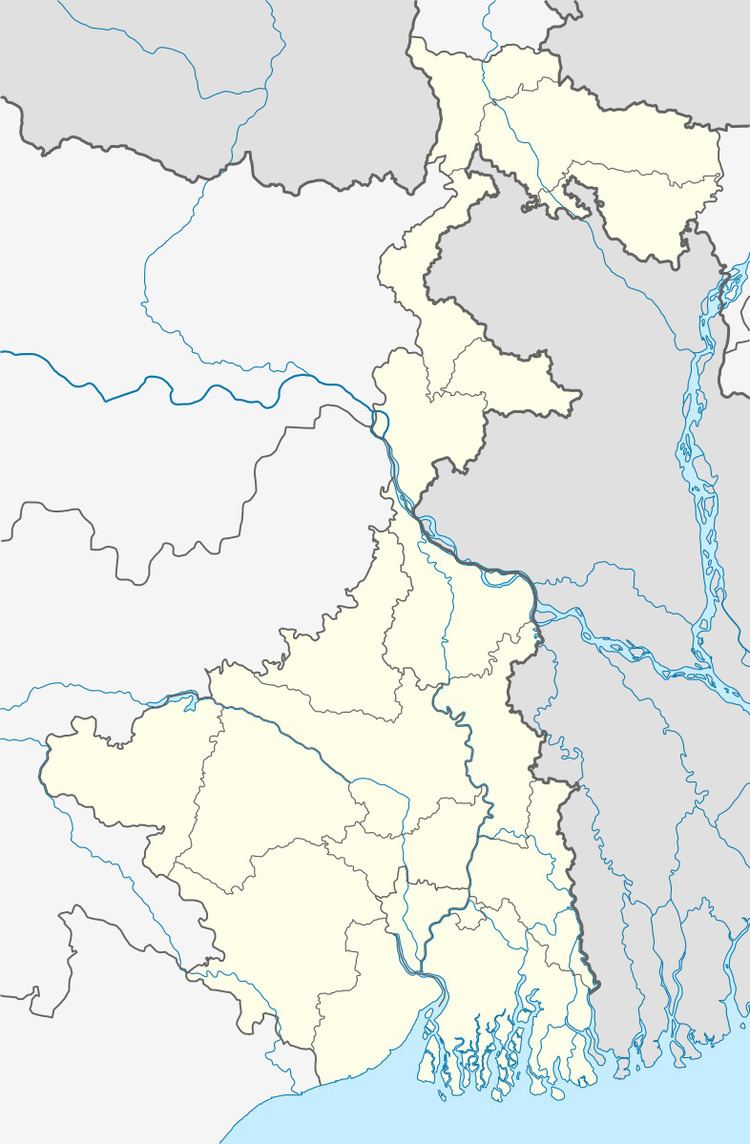
Sadpur, a census town in Habra I block, is located at 22°52′N 88°45′E.
Habra I CD Block is bounded by Gaighata CD Block in the north, Swarupnagar and Baduria CD Blocks in the east, Deganga and Barasat I CD Blocks in the south, and Habra II CD Block in the west.
Area
Habra I CD Block has an area of 136.42 km2.
Physical features
North 24 Parganas district is part of the Gangetic delta, lying east of the Hooghly River. The country is flat. It is a little raised above flood level and the highest ground borders the river channels. The rivers in the district were formerly distributaries of the Ganges but their mouths have long been filled up and blocked. The area is described as a sort of a drowned land broken by swamps. Land in the north-east of the district is higher than that of the rest of the district. The sturdy peasants raise crops of rice, jute and sugarcane from the alluvial soil. There are clumps of palm and fruit trees in which village homesteads nestle. Industrial activity is concentrated in the narrow strip of land along the Hooghly River. The south-eastern part of the district gradually merges into the Sunderbans. Parts of the metropolitan city of Kolkata extend over southern part of the district.
Gram panchayats
Gram panchayats of Habra I block are: Bergoom-I, Bergoom-II, Kumra, Machhlandapur-I, Machhlandapur-II, Prithiba and Routara. Panchayat Samiti is Habra-I Panchayat Samiti.
Demographics
As per 2011 Census of India Habra I CD Block had a total population of 225,200, of which 175,651 were rural and 49,549 were urban. There were 116,027 (52%) males and 109,173 (48%) females. Population below 6 years was 22,325. Scheduled Castes numbered 77,965 and Scheduled Tribes numbered 6,376.
As per 2001 census, Habra I block has a total population of 188,112 out of which 97,146 were males and 90,966 were females. Population of the rural areas in the block was 165,216 and that of the urban areas was 22,096. Habra I block registered a population growth of 17.07 per cent during the 1991-2001 decade. Decadal growth for the district was 22.40 per cent. Decadal growth in West Bengal was 17.84 per cent.
Census towns and large villages
Census towns in Habra I CD Block were (2011 census figures in brackets): Nokpul (7,737), Maslandapur (10,790), Sadpur (7,773), Betpuli (9,404), Anarbaria (5,895) and Purbba Narayanpur (7,950).
Large villages in Habra I CD Block were (2011 census figures in brackets): Janaphul (9,515), Lakshmipul (4,238), Dakshin Sarai (5,285), Marakpur (5,053), Mahisa Machhlandapur (6,488), Sonakene (6,933), Bergum (6,989), Krishna Nagar (5,187), Phultala (7,775), Kashipur (5,877), Kumra (5,410) and Rajballabhpur (6,909).
Literacy
As per 2011 census the total number of literates in Habra I CD Block was 168,687 (83.15% of the population over 6 years) out of which 91,058 (54%) were males and 77,629 (46%) were females.
As per 2011 census, literacy in North 24 Parganas district was 84.06 (including urban areas outside the CD Blocks). Literacy in West Bengal was 77.08% in 2011. Literacy in India in 2011 was 74.04%.
See also – List of West Bengal districts ranked by literacy rate
Language
Bengali is the local language in these areas.
Religion
In the 2011 census Hindus numbered 165,537 and formed 73.51% of the population in Habra I CD Block. Muslims numbered 58,132 and formed 25.81% of the population. Others numbered 1,531 and formed 0.68% of the population.
In 1981 Hindus numbered 79,050 and formed 80.30% of the population and Muslims numbered 18,883 and formed 19.20% of the population in Habra I CD Block. In 1981 Hindus numbered 60,268 and formed 67.12% of the population and Muslims numbered 29,206 and formed 32.53% of the population in Habra II CD Block. In 1991 Hindus numbered 180,690 and formed 63.80% of the population and Muslims numbered 101,571 and formed 35.84% of the population in Habra I and Habra II CD Blocks taken together. (In 1981 and 1991 census was conducted as per jurisdiction of the police station.)
In the 2011 census, Hindus numbered 7,352,769 and formed 73.46% of the population in North 24 Parganas district. Muslims numbered 2,584,684 and formed 25.82% of the population. In West Bengal Hindus numbered 64,385,546 and formed 70.53% of the population. Muslims numbered 24,654,825 and formed 27.01% of the population.
Human Development Report
According to Census 2001, 54% of the population of North 24 Parganas district lived in the urban areas. The district had 1,571 inhabited villages spread over 22 community development blocks. In the urban area there were 27 municipalities, 20 census towns, 7 urban outgrowths and one town under Cantonment Board. The North 24 Parganas district Human Development Report opines that in spite of agricultural productivity in North 24 Parganas district being rather impressive 81.84% of rural population suffered from shortage of food. The number of families living below the poverty line varied widely from block to block. Even in some municipal areas, such as Baduria, Gobardanga, Taki, Basirhat, Bangaon and Habra surveys have revealed large percentage of people living in poverty. Several poverty alleviation schemes are under implementation mostly at the block level. North 24 Parganas district with a population density of 2,192 persons per square km, was the third densest in West Bengal, after Kolkata and Howrah. The high density of population in the district is largely because of large scale migration of refugees from erstwhile East Pakistan, particularly in the period 1947 to 1955. In 2004, life expectancy at birth of a female was 71 years and that of a male was 66 years. With a literacy rate of 68.74% in 2001, the district was second only to Kolkata in the state in literacy. There were 6,139 habitations in the rural areas of North 24 Parganas. Out of these 2,331 habitations have primary schools within the villages and another 3,334 habitations have primary schools within 1 km. There are 474 habitations with primary schools beyond 1 km from the village. There were 258 high schools in the rural areas of the district.
Habra I CD Block had a population density of 1,408 persons per km2. It was ranked 6 amongst the 22 CD Blocks for density of population in 2001. It had a literacy rate of 76.63%, ranking of 3. Male literacy rate was 83.65% and female literacy rate was 69.10%. Percentage distribution of main workers in Habra I CD Block was cultivators 19.19, agricultural labourers 21.01, household industry workers 7.15 and other workers 52.64 (non-agricultural, non-household). 34.81% of households in this CD Block lived below poverty line.
In the Habra I CD Block 8 villages had secondary schools and for 91.38% villages a college was more than 5 km away. Habra I had 11 high schools with 11,352 students and 192 teachers. It had 8 higher secondary schools with 8,648 students and 160 teachers.
In Habra I, 98.28% of the villages had electricity for domestic use, 98.28% villages had paved approach roads, 100% villages had primary schools, 3.45% of the villages had maternity and child welfare centres, and 100% villages had drinking water. The tube well is the source of drinking water in 1,244 out of 1,572 villages in the district. In Habra I CD Block, 52 villages had tube wells for drinking water and 6 villages had tap water. Habra I CD Block had 169 km surfaced roads and 112 km unsurfaced roads.
North 24 Parganas is one of the leading districts in the formation and development of self-help groups. In Habra I there were 586 such groups. The major activities done by these groups were spices, fruits and vegetable processing, mushroom production, crystal bag making and ready-made garments. Habra I CD Block had 3 health centres and 21 sub-centres.
Healthcare
Habra I block is one of the areas where ground water is affected by arsenic contamination.