
Length 115 km | ||
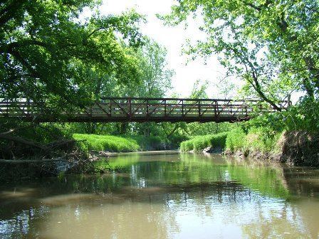 | ||
The Baraboo River /ˈbɛrəbuː/ is a tributary of the Wisconsin River, about 70 mi (115 km) long, in south-central Wisconsin in the United States. Via the Wisconsin River, it is part of the watershed of the Mississippi River.
Contents
Map of Baraboo River, Wisconsin, USA
The Baraboo River was probably named after a French settler in the area, Jean Baribault, although it may also be a corruption of a French word or phrase.
CourseEdit
The Baraboo River rises in southeastern Monroe County and flows generally southeastwardly through Juneau, Sauk and Columbia Counties, past Kendall, Elroy, Union Center, Wonewoc, La Valle, Reedsburg, Rock Springs, North Freedom, West Baraboo and Baraboo. It flows into the Wisconsin River from the west, about 3 mi (5 km) south of Portage.
In its upper course above Elroy, the river is paralleled by the Elroy-Sparta Bike Trail.