
Elevation 2,145 m | Topo map USGS Banner Summit | |
 | ||
Similar Galena Summit, Thompson Peak, Williams Peak, Deadwood Reservoir, Kirkhams Hot Springs | ||
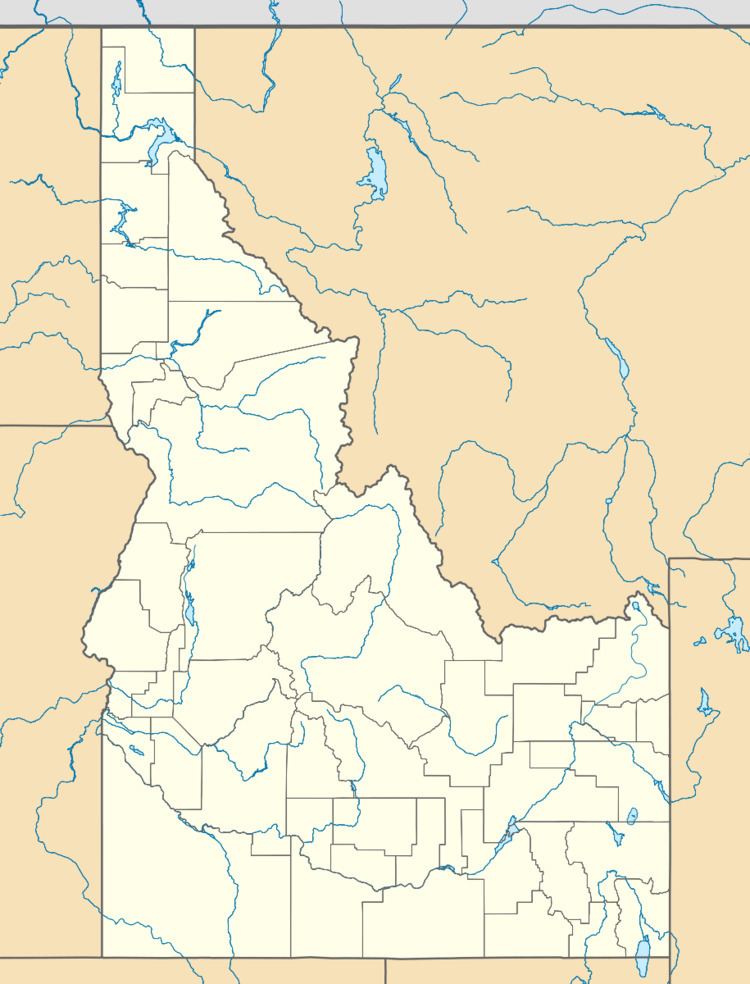
Banner Creek Summit is a mountain pass in central Idaho, at an elevation of 7,037 feet (2,145 m) above sea level on State Highway 21, the Ponderosa Pine Scenic Byway. It is located on the border of Custer County and Boise County, also the border of the Challis and Boise National Forests, immediately northwest of the Sawtooth Range.
Map of Banner Creek Summit, Idaho 83637, USA
Banner Creek Summit also marks the divide between the Salmon River and Payette River drainage areas. The highway follows Banner Creek, a tributary of the Middle Fork of the Salmon River, on the north side of the summit, and Canyon Creek (South Fork - Payette River) on the south side.
In road distance, the summit is about midway between Stanley and Lowman. This section of SH-21 is usually not maintained during the winter months, due to light traffic and heavy snowfall.