
OS grid SK035706 Elevation 551 m | Topo map OS Landranger 119 Prominence 84 m Listing Dewey | |
 | ||
Similar Shining Tor, Shutlingsloe, Cheeks Hill, Grindslow Knoll, Win Hill | ||
Peak district wild camping three shire heads axe edge moor
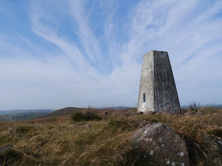
Axe Edge Moor is the major moorland southwest of Buxton in the Peak District. It is mainly gritstone (Namurian shale and sandstone). Its highest point (551 metres (1,808 ft)) is at grid reference SK035706. This is slightly lower than Shining Tor (which is some 5 kilometres (3 mi) to the northwest, across the modest dip of the incipient Goyt Valley).
Contents
Map of Axe Edge Moor, Buxton, UK
The moor is the source of the River Dove, River Manifold, River Dane, River Wye and River Goyt. It boasts England's second-highest public house (the Cat and Fiddle Inn). The moor is shared between the counties of Derbyshire, Staffordshire and Cheshire, which meet on its southwestern flank at the Three Shire's Head on the Dane.
The Axe Edge itself is on the southeastern edge, near the source of the Dove.