
Topo map OS Landranger 118 Prominence 236 m | OS grid SJ994737 Elevation 559 m Listing Marilyn, Dewey | |
 | ||
Similar Shutlingsloe, Axe Edge Moor, Cheeks Hill, Win Hill, Grindslow Knoll | ||
Macclesfield to whaley bridge via shining tor goyt valley
Shining Tor is a hill in the Peak District of England, between the towns of Buxton and Macclesfield, lying on the border between Derbyshire and Cheshire. Its summit is the highest point in modern Cheshire, with Black Hill near Crowden being the historic county top of Cheshire. The word tor means a high rock, and is a loan word from Old Brythonic.
Contents
- Macclesfield to whaley bridge via shining tor goyt valley
- Map of Shining Tor Macclesfield UK
- AscentEdit
- ViewsEdit
- GeologyEdit
- References
Map of Shining Tor, Macclesfield, UK
(There is another hill named Shining Tor, above Dovedale in Derbyshire, at grid reference SK145545.)
AscentEdit
The hill can be climbed by many routes, perhaps most commonly from the Goyt valley by Errwood reservoir, perhaps combined with a walk along the ridge north from Shining Tor over Cats Tor. It can also be gained with less climbing from the Cat and Fiddle Inn.
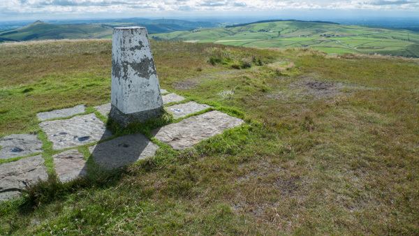
ViewsEdit
As it is the highest point around (it is some 8 metres (26 ft) higher than the summit of Axe Edge Moor above Buxton), the views are pleasant, though the relatively flat uplands mean they are not extensive in all directions: the view to the southwest of the peak of Shutlingsloe above Wildboarclough is particularly notable, and in clear conditions Winter Hill near Bolton, the city of Manchester and much of the Cheshire Plain can be seen, including the radio telescopes at Jodrell Bank 20 kilometres (12 mi) to the west. In very clear but not unusual conditions North Wales and even Snowdonia can be seen.
GeologyEdit
The north–south ridge of Shining Tor including the summit itself is formed from the Chatsworth Grit, a thick sandstone of Namurian age which occurs widely across the Peak District. The beds dip moderately steeply to the east into a north–south-aligned syncline known as the Goyt Trough. Shining Tor is thought to have stood above the ice sheet during the last ice age and so is free from glacial deposits. The eastern dipslope and shallower parts of its western flanks are covered by peat up to several metres deep.