
Length 19 km Country United Kingdom | Mouth River Dove | |
 | ||
Main source South of Buxton near Axe Edge River mouth Confluence with the Dove Basin size 9,111 hectares (22,510 acres) Cities | ||
Hillstream tank build part 1 river manifold
The River Manifold is a river in Staffordshire, England. It is a tributary of the River Dove (which also flows through the Peak District, forming the boundary between Derbyshire and Staffordshire).
Contents
- Hillstream tank build part 1 river manifold
- Map of River Manifold United Kingdom
- 150g modified river manifold part 2
- Manifold WayEdit
- Limestone crags and cavesEdit
- Mining in the Manifold valleyEdit
- EcologyEdit
- References
Map of River Manifold, United Kingdom
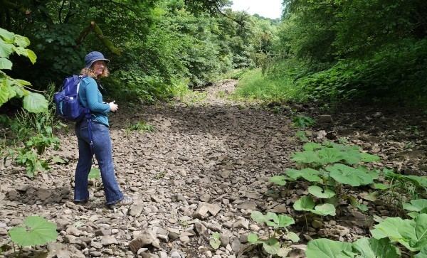
The Manifold rises at Flash Head just south of Buxton near Axe Edge, at the northern edge of the White Peak, known for its limestone beds. It continues for 12 miles (19 km) before it joins the Dove. For part of its course, it runs underground (except when in spate), from Wetton Mill to Ilam. During this section it is joined by its major tributary, the River Hamps.
Villages on the river include Longnor, Hulme End and Ilam.
Its name may come from Anglo-Saxon manig-fald = "many folds", referring to its meanders.
150g modified river manifold part 2
Manifold WayEdit
The Manifold Way is an 8-mile (13 km) long-distance footpath from Hulme End to Waterhouses, along the former route of the narrow-gauge (2' 6") Leek and Manifold Valley Light Railway which operated between 1904 and 1934. Opened in July 1937 after the LMS handed over the trackbed to Staffordshire County Council, it is tarmacked throughout.
The Manifold Valley Visitor Centre is housed in Hulme End Station, which also has a model of the railway.
Limestone crags and cavesEdit
The limestone cliffs that fringe the valley contain several rock-climbing areas, and named rock features, including Thor's Cave (grid reference SK098549) and Beeston Tor (grid reference SK105540), which overlooks the confluence with the River Hamps.
Mining in the Manifold valleyEdit
The Manifold valley was famous for the mining of copper and lead, and the mines at Ecton were some of the richest in the country. The discovery of Stone Age implements in some of the caves imply that minerals were mined around the Manifold valley thousands of years ago. Nowadays there is little trace of the industry that made many people (mainly the Duke of Devonshire who at one time owned the Ecton mines) very rich. The main areas of interest are around Ecton where the old spoil banks and the old engine house still remain.
EcologyEdit
The river has been noted as being important for Bullhead and Lamphrey. It was previously a bastion for White Clawed Crayfish, but most of the species in this river were killed off with Crayfish plague in 2008. Crayfish have been noted in the tributaries of the Manifold and it is hoped that re-colonisation can be achieved by the surviving upstream crayfish.