
 | ||
Aulac is a Canadian community in Westmorland County, New Brunswick. It is located near the larger town of Sackville by the provincial border with Nova Scotia.
Contents
Map of Aulac, NB, Canada
Geography
Aulac is situated upon the Aulac Ridge, a prominent rise running west-east across the Tantramar Marshes on the Isthmus of Chignecto, approximately 2 kilometres west of the Missaguash River which forms the southern part of the inter-provincial boundary with Nova Scotia.
History
Aulac became strategically important for French military forces during the 18th century after ceding what is now peninsular Nova Scotia to Britain in the 1713 Treaty of Utrecht; the words describing the boundary of Acadia (then including all of Nova Scotia, New Brunswick, Cape Breton Island, Prince Edward Island, the Gaspé Peninsula, Anticosti Island and part of eastern Maine) were sufficiently vague as to permit France to establish the Missaguash River as the boundary between Britain's new colony and New France. During Father Le Loutre's War, British military forces constructed a log stockade on the Fort Lawrence Ridge, 3 km to the south of Aulac, naming their facility Fort Lawrence, which was promptly answered by the French construction of Fort Beauséjour at the western end of the Aulac Ridge, overlooking the Cumberland Basin of the Bay of Fundy.
After falling to Britain during the Seven Years' War, the Aulac area became part of the Tantramar farming district in the township of Sackville. The Intercolonial Railway constructed its mainline connecting Moncton, New Brunswick with Truro, Nova Scotia in 1872, with the railway line curving around the ridge below the fort.
In the 20th century, roads across the marshes passed up and over the Aulac Ridge, as did a road running the length of the ridge toward Port Elgin. These roads were upgraded in the 1960s as part of the Trans-Canada Highway project, with the Moncton-Amherst, Nova Scotia section being numbered Highway 2 and the Aulac-Port Elgin (and thence Cape Tormentine) section being numbered Highway 16.
Present day
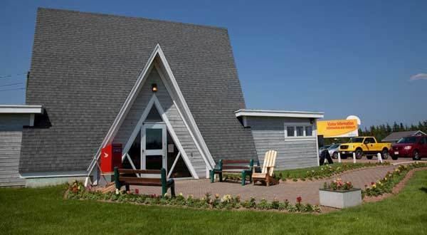
A cluster of highway service businesses established in Aulac, including a truck stop, several gas stations, motels and stores and the hamlet became a popular stopping point for highway travellers. During the 1990s, Aulac was bypassed when Highway 2 was upgraded on a new 4-lane alignment several hundred metres to the east. Only the truck stop, a motel, and several businesses have remained, although it is still well-patronized, especially the Schnitzel Haus, a popular German restaurant.