
Year first constructed 1901 (first) Deactivated 1997-1998 Local time Wednesday 2:36 PM | Year first lit 1940s (current) Construction masonry tower Province New Brunswick | |
 | ||
Location Cape Tormentine
New Brunswick
Canada Tower shape square prism tower with balcony and lantern Weather 6°C, Wind S at 19 km/h, 100% Humidity | ||
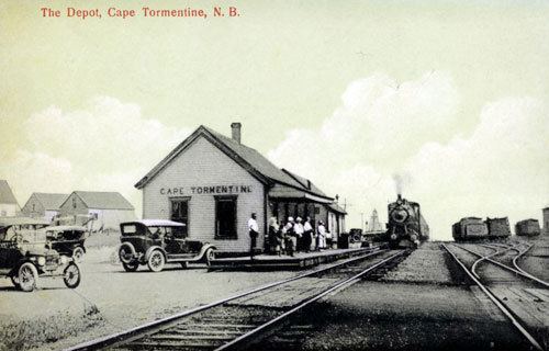
Cape Tormentine is a village in southeastern New Brunswick, Canada. It is located on the Northumberland Strait at the Abegweit Passage, the shortest crossing between Prince Edward Island and the mainland. It once flourished as a transportation hub between New Brunswick and Prince Edward Island but has been in decline since 1997 when the ferry service was closed due to the opening of the Confederation Bridge. At the Canada 2011 Census the population was 108, three quarters what it was at the 2006 census.
Contents
Map of Cape Tormentine, NB, Canada
Cape Tormentine is named for the eponymous cape. As an unincorporated community, it is part of the Bayfield local service district in Westmorland County. For statistical purposes it is part of Botsford Parish.
Freight and passenger terminal timelineEdit
References
Cape Tormentine, New Brunswick Wikipedia(Text) CC BY-SA