West end: SR 10 West end: SR 17 East end: SR 25 | East end: US 231 Major
junctions: US 31 Length 30.38 km | |
 | ||
Counties Fulton County, Indiana, Jasper County, Indiana, Marshall County, Indiana | ||
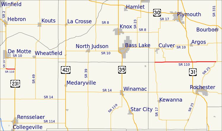
State Road 110 in Northern Indiana consists of two discontinuous east–west segments. Neither segment passes through any towns.
Contents
Map of IN-110, Indiana, USA
Route description
The western portion of State Road 110 is 2.5 miles (4.0 km) long and connects State Road 10 with U.S. Route 231 in Jasper County.
The eastern portion runs along the border between Fulton County and Marshall County; it is 16.4 miles (26.4 km) long and connects State Road 17 at the west end with State Road 25 at the east end, and has an interchange with U.S. Route 31 south of Argos.
References
Indiana State Road 110 Wikipedia(Text) CC BY-SA
