
Length 8.70 mi (14.00 km) South end Raritan Bay | Location Richmond | |
 | ||
North end Richmond Road/Richmond Hill Road | ||
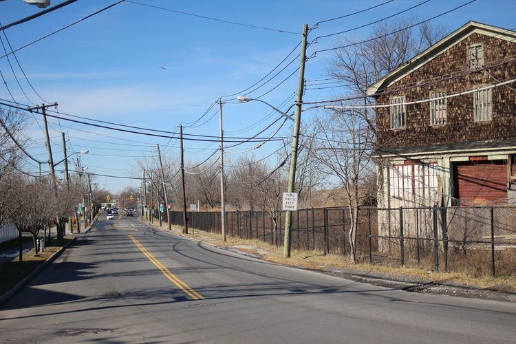
muninyc arthur kill road tracy avenue staten island new york
Arthur Kill Road is a major northeast-southwest artery along the South-West Shore of the New York City borough of Staten Island. It is approximately 8.70 miles (14.00 km) long, and runs through the neighborhoods of Richmondtown, Great Kills, Greenridge, Eltingville, Annadale, Arden Heights, Huguenot, Woodrow, Rossville, Charleston, Richmond Valley, and Tottenville.
Contents
- muninyc arthur kill road tracy avenue staten island new york
- Map of Arthur Kill Rd Staten Island NY USA
- muninyc arthur kill road bentley street staten island new york
- References
Map of Arthur Kill Rd, Staten Island, NY, USA
Arthur Kill Road is named for the waterway to its west, the Arthur Kill, which separates Staten Island from Union County, New Jersey and Middlesex County, New Jersey.
Landmarks include the Blazing Star Burial Ground, the Arthur Kill Correctional Facility, the unused LNG tanks east of Chemical Lane, as well as the Outerbridge Crossing which Arthur Kill Road passes underneath.
Arthur Kill Road is served by the S74/S84 local buses. The S54, S55, and S56 local buses use Arthur Kill Road for part of their route, as do the X7, X8, X15, X17, X19, X22, and X23 express buses.