
Local time Tuesday 8:58 AM | Time zone EET (UTC+2) | |
 | ||
Weather 8°C, Wind NE at 3 km/h, 79% Humidity | ||
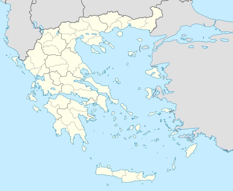
Plaka (Greek: Πλάκα, former name: Μορόχοβα - Morochova) is a village in the municipal unit of Aroania, Achaea, Greece. In 2011, it had a population of 99. It is situated in the southern foothills of Mount Erymanthos. It is 2 km southeast of Agrampela, 4 km west of Livartzi and 25 km southwest of Kalavryta.
Map of Plaka 250 16, Greece
References
Plaka, Achaea Wikipedia(Text) CC BY-SA