Time zone EET (UTC+2) Area 969 km² | Postal index 55300—55354 Population 20,352 (2015) Area code 5132 | |
 | ||
Subdivisions List 0 — city councils 2 — settlement councils12 — rural councilsNumber of localities: 0 — cities 2 — urban-type settlements62 — villages 2 — rural settlements | ||
Arbuzynka Raion (Ukrainian: Арбузинський район) is located in Mykolaiv Oblast of Ukraine. Its administrative center is the urban-type settlement of Arbuzynka. Population: 20,352 (2015 est.)
Contents
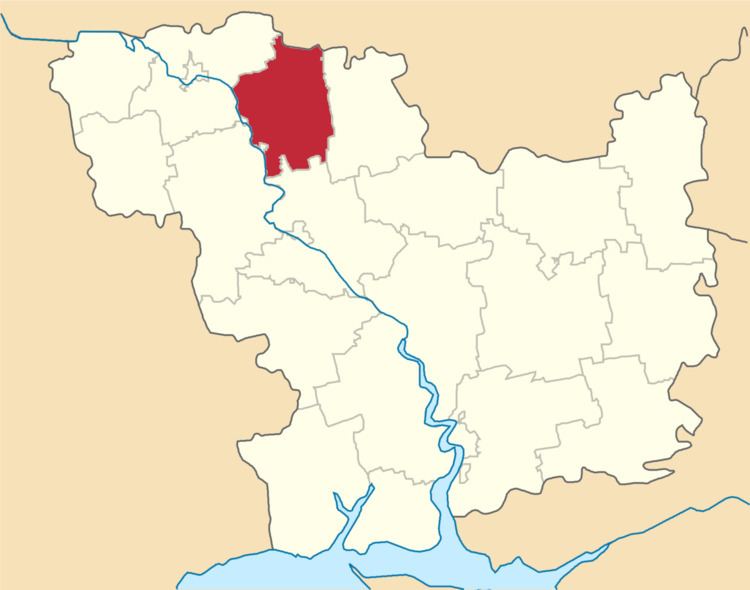
Map of Arbuzyns'kyi district, Mykolaivs'ka oblast, Ukraine
History
In the beginning of the 19th century, the current area of the district belonged to Yelisavetgradsky Uyezd of Kherson Governorate. In 1816, the areas of Konstantinovskaya and Blagodatnovskaya Volosts were made military settlements. In 1828, Yelisavetgradsky Uyezd was merged with Olviopolsky Uyezd into Bobrinetsky Uyezd. In 1857, military settlements were abolished. In 1865, the administrative center of Bobrinetsky Uyezd was moved to Yelisavetgrad, and the uyezd was renamed Yelisavetgradsky. On 16 April 1920, Kherson Governorate was renamed Nikolayev Governorate, and on 21 October 1922, it was merged into Odessa Governorate. In 1923, uyezds in Ukrainian Soviet Socialist Republic were abolished, and the governorates were divided into okruhas. In 1925, the governorates were abolished, and okruhas were directly subordinated to Ukrainian SSR. In 1930, okruhas were abolished, and in 1931, Arbuzynka Raion, with the administrative center in Harbuzynka, was established. On 27 February 1932, Odessa Oblast was established, and Arbuzynka Raion was included into Odessa Oblast. In 1944, Arbuzynka Raion was transferred to Mykolaiv Oblast. In 1946, Harbuzynka was renamed Arbuzynka. In January 1963, during the abortive Khrushchyov administrative reform, Arbuzynka Raion was abolished and split between Pervomaisk and Bratske Raions. In 1966, Arbuzynka Raion was re-established. In 1967, Arbuzynka was granted urban-type settlement status.
