
Postal index 873-XX Area 1,455 km² Area code 380 Subdivisions 73 | Established N/A Time zone EET (UTC+2) Website Verkhovna Rada website | |
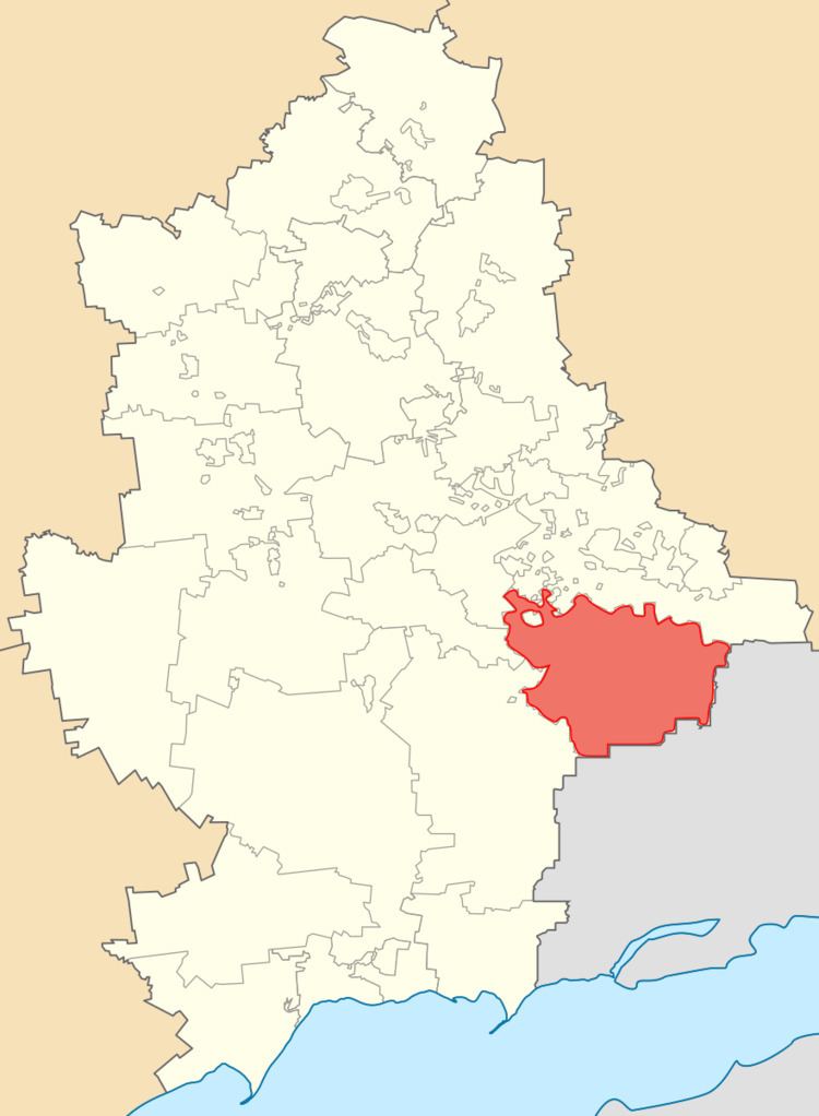 | ||
The Amvrosiivka Raion (Ukrainian: Амвросіївський район, translit.: Amvrosiivs'kyi raion; Russian: Амвросиевский район, translit.: Amvrosievskiy raion) is a raion (district) within the eastern part of Donetsk Oblast in the Eastern Ukraine. The administrative center of the raion is the town of Amvrosiivka. Population: 45,508 (2013 est.).
Contents
Map of Amvrosiivs'kyi district, Donetska, Ukraine
Geography
The raion has an international border with the Russian Federation (Rostov Oblast) to its east and south (still not established), Starobesheve Raion to its southwest, cities of Donetsk and Makiivka to the west, and Shakhtarsk Raion to its north. The border with Russia stretches here for 73 kilometres (45 mi). Raion was established on March 7, 1923 as a part of Taganrog Uyezd (county), Donetsk Governorate initially, a month later it was included into the Stalino Okruha (Yuzivka, at first). Eventually the raion became a part of the Donetsk Oblast.
The raion is located in the southern portion of the Donetsk Ridge and its territory belongs to a steppe zone of Ukraine. On the territory of the raion are located following natural landmarks:
Within the Amvrosiivka Raion there is: one city (Amvrosiivka), 3 urban-type settlements (Kuteynykove, Novoamvrosiivs'ke, and Voykovskyi), 30 selsovets, and 43 settlements. Also included within the raion are: 14 industrial organizations, 4 construction and transport organizations, 12 kolhozy, 11 sovhozy, 2 pizza companies, 10 hospitals, 35 schools, 24 clubs, 38 libraries and music schools.
An architectural monument in the raion is the Ioanno-Bohoslovska Church (1905-selo Vasyl'evka). Before 1917 the raion was part of the Don Host Oblast in the Russian Empire.
Settlements
Demographics
As of the Ukrainian Census of 2001: