
Country India Time zone IST (UTC+5:30) Elevation 211 m | PIN 441902 Local time Wednesday 12:32 AM | |
 | ||
Weather 21°C, Wind E at 2 km/h, 41% Humidity | ||
Hajra fall salekasa amgaon gondia maharashtra
Amgaon is a city located in Gondia district of Nagpur Division in the state of Maharashtra, India. It is also a tehsil place. Amgaon is believed as the birthplace of well-known Sanskrit poet Bhavabhuti. Kali maa (Hindu Goddess Kali) temple is one of the main attractions in Amgaon. Nearly 10,000 people gather around this temple in Navaratri to worship. Other than temples, Amgaon is one of the large producers of Beedi and rice in Gondia region.
Contents
- Hajra fall salekasa amgaon gondia maharashtra
- Map of Amgaon Maharashtra 441902
- About Amgaon
- By Rail
- By Road
- By Airports
- Colleges near Amgaon
- Schools in Amgaon
- Colleges in Amgaon
- Description
- Geography
- Location
- Economy
- Education
- Place to Visit
- Cities
- Talukas
- References
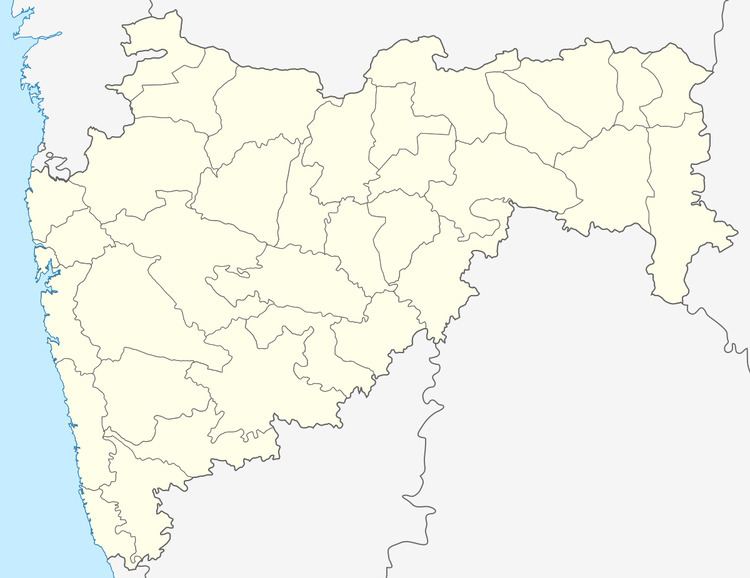
Map of Amgaon, Maharashtra 441902
About Amgaon
Amgaon is a city in Gondia District of Maharashtra State, falling under Vidarbha region. It is located 24 km towards the east from District headquarters Gondia. Jamkhari (4 km), Zaliya (4 km), Sioni (5 km), Salekasa (17 km), Kattipar (7 km), Kawarabandh (8 km) are the nearby villages. Amgaon is located near Madhya pradesh and Chhattisgarh states borders and this makes it an interesting place to visit as it is melange of various cultures. Although people of different ethnicity live here, but no riots are noticed till date. There are many places to visit nearby Amgaon like Dongargadh, Hajra waterfalls in Darekasa, Nagzira, Birsi Airport, etc. Amgaon is believed as the birthplace of well-known Sanskrit poet Bhavabhuti. As per provisional census of 2011, Amgaon has 1987 households and a population of 10200 of which 5133 are male and 5067 female. Postal PIN Code for Branch Post Office Amgaon is 441902 shared with other 17 villages.
By Rail
Amgaon Railway Station serves Amgaon Taluka and nearby villages. Gondia and Durg are two nearby major junctions. Durg 107 km and Gondia Jn. is 23 km from Amgon railway station. Gondia Jn Railway Station (near to Gondiya), Dongargarh Railway Station (near to Durg) are the Railway stations reachable from nearby towns. However Gondia Railway Station is major railway station 23 km near to Amgaon. Amgaon- 1 km Dhanoli- 8 km Gudma- 12 km Salekasa- 15 km
By Road
Amgaon is 25 km from district place Gondia towards east. Amgaon is just 35 km from Deori which located on National highway no. 6 (Mumbai-Kolkata).
Regular buses and taxi services are available from Gondia to Amgaon.
By Airports
Colleges near Amgaon
Schools in Amgaon
Colleges in Amgaon
Description
Taluka Name : Amgaon Sub Division : Deori District : Gondia State : Maharashtra Region : Vidarbha Division : Nagpur Language : Marathi,Hindi, Powari.
317 meters. Above Seal level Telephone Code / Std Code: 07189 Pin Code : 441902 Post Office Name : Amgaon
Iron Ore Mine is located at Khurshipar in Amgaon Tehsil. Having more than 150+ rice mills around Amgaon, Amgaon market is well known for rice. Amgaon is also a central market place for people from Lanji Tehsil from Balaghat District Madhya Pradesh. Amgaon comes under Amgaon (Vidhan Sabha constituency) and Chimur (Lok Sabha constituency). Amgaon receives rainfall from South-western winds mainly in the months of June, July, August and September. July and August are the months during which the maximum rainfall as well as maximum continuous rainfall occurs. Average rainfall 1149.5 mm. Rice is the major crop cultivated in this Tehsil.
Geography
It is located at 20°39′0″N 79°57′0″E at an elevation of 211 m from MSL.
Location
Amgaon is 150 km from Nagpur, on Kurla - Howrah railway line. It is near the border of Chhattisgarh and Madhya Pradesh.
Amgaon Railway Station (code AGN) is under Nagpur Division of South East Central Railway.
It is well connected via road with District Place and also with national high No. 6 at deori which is 35 km from Amgaon.
Economy
Amgaon is informally known as the Rice city. There are around 40 rice mills in the area. Various Usna Rice industries are here. Usna rice is mainly sold to other states.
Education
There are several colleges and schools in Amgaon. Laxmanrao Mankar group of college, Vidya Niketan education group and Swami Vivekananda education group are best for studies.
Place to Visit
It falls between Amgaon and Dongargarh railway stations en-route Mumbai-Howrah main line. It is a spectacular view covered with dense forest and hills. Hazara Falls, in Salekasa tahsil is a major tourist attraction during the rainy season. It is located 1 km from Darekasa Railway Station and visitors can enjoy the sight of natural vegetation. The place is also ideal for camping as well as trekking activities.
Cities
Gondiya- 24 km Dongargarh- 49 km Tirora- 52 km Balaghat- 59 km
Talukas
Amgaon- 0 km Salekasa- 15 km Goregaon- 20 km Gondia- 24 km