
Established 1837 Founded 1837 | Postcode(s) 5000 Area 10.5 km² Postal code 5000 | |
 | ||
Population 12,962 (2011 census)10,229 (2006 census) | ||
Visit art gallery of south australia art gallery in the adelaide city centre south australia
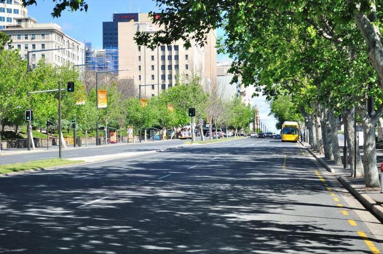
Adelaide city centre is the innermost locality of Greater Adelaide, the capital city of South Australia. It is known by locals simply as "The City" or "Town" to distinguish it from Greater Adelaide and from the City of Adelaide (which also includes North Adelaide and the parklands). The locality is split into two key geographical distinctions: the city "square mile", bordered by North, East, South and West Terraces; and the section of the Adelaide Parklands south of the River Torrens which separates the built up part of the city from the surrounding suburbs and North Adelaide.
Contents
- Visit art gallery of south australia art gallery in the adelaide city centre south australia
- Map of Adelaide SA 5000 Australia
- History
- Built environment
- Layout
- Street names
- Politics
- Culture
- References
Map of Adelaide SA 5000, Australia
The locality is home to the Parliament of South Australia and many key state government offices. Due to the construction of many new apartments in the city, the population grew from 10,229 (2006 census) to 12,962 (2011 census).
History
Before the European settlement of South Australia, the Adelaide Plains, on which Adelaide was built, were home to the Kaurna group of Indigenous Australians. The colony of South Australia was established in 1836 at Glenelg, and the city itself established in 1837. The location and layout of the city is accredited to Colonel William Light (1786–1839), in a plan known as Light's Vision. The area where the Adelaide city centre now exists was once known as "Tarndanya", which translates as "male red kangaroo rock" in Aboriginal, an area along the south bank of what is now known as the River Torrens, which flows through Adelaide.
Kaurna numbers were significantly reduced by at least two widespread epidemics of smallpox which preceded European settlement, having been transported downstream along the Murray River. When European settlers arrived in 1836, estimates of the Kaurna population ranged from 300 to 1000 people. British Captain Matthew Flinders, along with French Captain Nicolas Baudin, charted the southeast coast of Australia, where Adelaide is located. Flinders named Mount Lofty in 1802, but provided little information on Adelaide itself.
Charles Sturt later explored the Murray and wrote a favourable reflection on what he saw. Colonel William Light is credited largely with settling and laying out the Adelaide region, which included a grid plan of Adelaide's streets. Adelaide was not as badly effected by the 1860s economic depression of Australia as other gold rush cities like Sydney and Melbourne, allowing it to prosper. Historian F.W. Crowley noted that the city was full of elite upper class citizens which provided a stark contrast of the grinding poverty of the labour areas and slums outside the inner city ring. Due to its historic puritan wealth during the 20th century, the city retains a notable portion of Victorian architecture.
Built environment
Adelaide is separated from its greater metropolitan area by a ring of public parklands on all sides. The square mile within the parklands is defined by a small area of high rise office and apartment buildings in the centre north, around King William Street, which runs north-to-south through the centre. Surrounding this central business district are a large number of medium to low density apartments, townhouses and detached houses which make up the residential portion of the city centre.
Layout
The layout of Adelaide, known as Light's Vision, features a cardinal direction grid pattern of wide streets and terraces and five large public squares: Victoria Square in the centre of the city, and Hindmarsh, Light, Hurtle and Whitmore Squares in the centres of each of the four quadrants of the Adelaide city centre. These squares occupy 32 of the 700 numbered "town acre" allotments on Light's plan.
All east-west roads change their names as they cross King William Street, except for North and South terraces. They also alternate between being wide and narrow, 99 and 66 feet (30 and 20 m), except for the central Grote and Wakefield which are extra-wide, 132 feet (40 m), along with the surrounding four terraces. In the south half of the city, in several places the Adelaide City Council has constructed wide footpaths and road markings to restrict traffic to a lesser number of lanes than the full width of the road could support.
The street pairs, design widths, and town acres in Light's Vision are illustrated in this diagram:
Street names
The streets and squares were named by a committee of a number of prominent settlers after themselves, after early directors of the South Australian Company, after Commissioners appointed by the British government to oversee implementation of the acts that established the colony, and after various notables involved in the establishment of the colony.
The Street Naming Committee comprised:
All members of the committee (except Stephens) had one or more of the streets and squares in the Adelaide city centre and North Adelaide named after themselves. Brown Street, named for John Brown, was subsequently subsumed as a continuation of Morphett Street in 1967. In the same year, Hanson Street, named for Richard Hanson, was subsumed as a continuation of Pulteney Street.
The squares were named after:
The east-west streets named on 22 December 1836 were:
Most of these people did not reside in or visit South Australia.
The naming of the streets was completed on 23 May 1837 and gazetted on 3 June.
East-west streets:
North-south streets:
Politics
At federal level, Adelaide is within the Division of Adelaide, a marginal seat which historically has alternated between the Liberal and Labor parties. It has been held since 2004 by Kate Ellis of the Labor party.
In the South Australian House of Assembly, Adelaide is within the Electoral district of Adelaide. Since the March 2010 state election, the seat has been held by Rachel Sanderson of the Liberal party.
Culture
Adelaide's cultural and entertainment precincts/venues are generally concentrated in the city centre. They include the Convention Centre, Entertainment Centre and the redeveloped Adelaide Oval. Additionally, the Adelaide Festival and Adelaide Fringe Festival are held within Adelaide's city centre during February and March. This time is known as "Mad March", due to the large number of other cultural festivities at the same time, including the Adelaide 500 and WOMADelaide. North Terrace is considered Adelaide's "cultural boulevard" because of its tight concentration of galleries and museums.