
Country Capital | Area 20,447.7 km2 | |
 | ||
Destinations Colleges and Universities Martin Luther University of Halle-Wittenberg (Halle), Otto-von-Guericke University Magdeburg (Magdeburg), Merseburg University of Applied Sciences (Merseburg), Hochschule Harz (Wernigerode), Friedensau Adventist University (Möckern) | ||
Population 2.277 million (Dec 31, 2011) | ||
Map of Saxony-Anhalt
Saxony-Anhalt (German: Sachsen-Anhalt, [ˌzaksn̩ ˈʔanhalt]) is a landlocked federal state of Germany surrounded by the federal states of Lower Saxony, Brandenburg, Saxony and Thuringia.
Contents
- Map of Saxony Anhalt
- Saxony anhalt tourism
- Sachsen anhalt saxony anhalt saxe anhalt
- Geography
- Administrative subdivisions
- Largest cities
- History
- Demographics
- Religion
- 13 March 2016 state election
- Development of the economy
- Structure of the economy
- World Heritage Sites
- Anthem
- References
Its capital is Magdeburg and its largest city is Halle (Saale). Saxony-Anhalt covers an area of 20,447.7 square kilometres (7,894.9 sq mi) and has a population of 2.34 million. It is the 8th largest state in Germany by area and the 10th largest by population.

The state of Saxony-Anhalt grew out of the former Prussian Province of Saxony and Free State of Anhalt during Prussia's dissolution after World War II. In 1945 the US army administration and, subsequently, the Soviet army administration organised the former province's territory into the new state. The state became a part of the newly established German Democratic Republic in 1947 but in 1952 the state was dissolved and its territory was divided into the East German districts of Halle and Magdeburg, with the exception of the city of Torgau which joined Leipzig. After German reunification in 1990, the state was re-established, leaving out Torgau.
Saxony-Anhalt should not be confused with Saxony or Lower Saxony, the names of two other German states.
Saxony anhalt tourism
Sachsen anhalt saxony anhalt saxe anhalt
Geography
Saxony-Anhalt is one of 16 Bundesländer (see German: Bundesland) of Germany. It is located in the western part of eastern Germany. By size, it is the 8th largest state in Germany and by population it is the 10th largest.
It borders four other Bundesländer: Lower Saxony to the north-west, Brandenburg to the north-east, Saxony to the south-east, and Thuringia to the south-west.
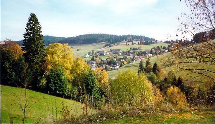
In the north, the Saxony-Anhalt landscape is dominated by the flat expanse of the (North German Plain). The old Hanseatic towns Salzwedel, Gardelegen, Stendal, and Tangermünde are located in the sparsely populated Altmark. The Colbitz-Letzlingen Heath and the Drömling near Wolfsburg mark the transition between the Altmark region and the Elbe-Börde-Heath region with its fertile, sparsely wooded Magdeburg Börde. Notable towns in the Magdeburg Börde are Haldensleben, Oschersleben (Bode), Wanzleben, Schönebeck (Elbe), Aschersleben and the capital Magdeburg, from which the Börde derives its name.
The Harz mountains are located in the south-west, comprising the Harz National Park, the Harz Foreland and Mansfeld Land. The highest mountain of the Harz (and of Northern Germany) is Brocken, with an elevation of 1,141 meters (3,735 ft). In this area, one can find the towns of Halberstadt, Wernigerode, Thale, Eisleben and Quedlinburg.
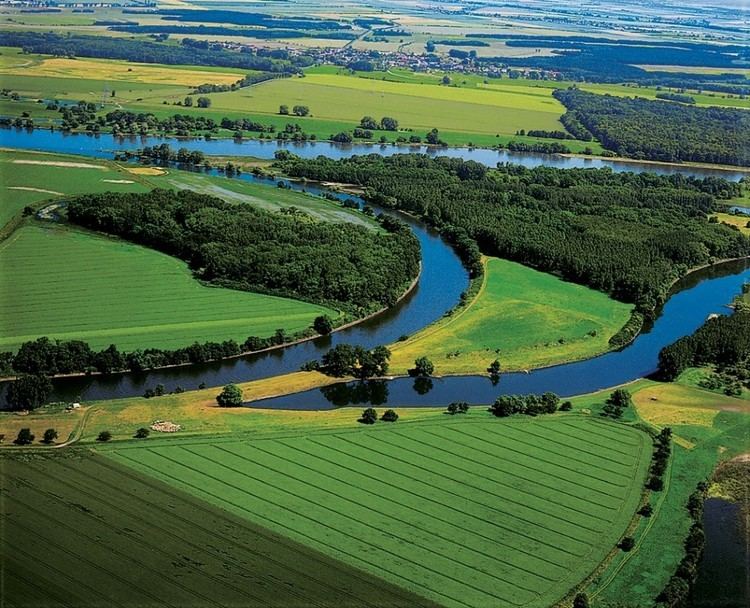
The wine-growing area Saale-Unstrut and the towns of Zeitz, Naumburg (Saale), Weißenfels, and Freyburg (Unstrut) are located on the rivers Saale and Unstrut in the south of the state.
The metropolitan area of Halle (Saale) forms an agglomeration with Leipzig in Saxony. This area is known for its highly developed chemical industry (the Chemiedreieck - chemical triangle), with major production plants at Leuna, Schkopau (Buna-Werke) and Bitterfeld. Finally, in the east, Dessau-Roßlau and Wittenberg are situated on the Elbe (as is the capital Magdeburg) in the Anhalt-Wittenberg region.
Administrative subdivisions
The capital of Saxony-Anhalt is Magdeburg. It is the second-largest city in the state, closely after Halle. From 1994 to 2003, the state was divided into three regions (Regierungsbezirke), Dessau, Halle and Magdeburg, and, below the regional level, 21 districts (Landkreise). Since 2004, however, this system has been replaced by 11 rural districts and three urban districts.
The rural districts are:
The urban districts are:
Largest cities
The largest cities in Saxony-Anhalt according to a 31 December 2014 estimate:
History
In April 1945 the US Army took control of most of the western and northern area of the future Saxony-Anhalt. The U.S. Group Control Council, Germany (a precursor of the OMGUS) appointed the first non-Nazi officials in leading positions in the area. So Erhard Hübener, put on leave by the Nazis, was reappointed Landeshauptmann (state governor). By early July the US Army withdrew from the former Prussian Province of Saxony to make way for the Red Army to take it as part of the Soviet occupation zone, as agreed by the London Protocol in 1944.
On 9 July the Soviet SVAG ordered the merger of the Free State of Anhalt, Halle-Merseburg, the governorate of Magdeburg (in its then borders), Allstedt (before Thuringia) and some Brunswickian eastern exclaves and salients (Calvörde and the eastern part of the former Blankenburg district) with the Province of Saxony. The previously Saxon Erfurt governorate had become a part of Thuringia.
For the earlier history see the respective articles of these entities before 1945. Anhalt takes its name from Anhalt Castle near Harzgerode; the origin of the name of the castle remains unknown.
The SVAG appointed Hübener as president of the provincial Saxon administration, a newly created function. The administration was seated in Halle an der Saale, which became the capital, also of later Saxony-Anhalt until 1952. On 3 September 1945 the new administration enacted by Soviet-inspired ordinance the mass expropriations, mostly hitting holders of large real estates, often of noble descent.
On the occasion of the first (and one and only) election in the Soviet zone, allowing parties truly to compete for seats in provincial and state parliaments, on 20 October 1946, the Province of Saxony was renamed as the Province of Saxony-Anhalt (German: Provinz Sachsen-Anhalt), taking the prior merger into account. On 3 December 1946 the members of the new provincial parliament elected Hübener the first minister-president of Saxony-Anhalt with the votes of CDU and Liberal Democratic Party of Germany (LDPD). Thus he became the only governor in the Soviet zone, who was not a member of the communist Socialist Unity Party of Germany (SED). He was an inconvenient governor for the Soviet rulers.
After the official Allied decision to dissolve the Free State of Prussia, which had remained in limbo since the Prussian coup of 1932, its former provinces, in as far as they still existed, achieved statehood, thus the province emerged into the State of Saxony-Anhalt on 6 October 1947. It became part of the German Democratic Republic (East Germany) in 1949. From 1952 to 1990 the East German states were dissolved and Saxony-Anhalt's territory was divided into the East German districts of Halle and Magdeburg except territory around Torgau was in Leipzig. In 1990, in the course of German reunification, the districts were reintegrated as a state. But, territory around Torgau did not return to the state and joined Saxony. Now, Torgau is the centre of Nordsachsen district (since 2008).
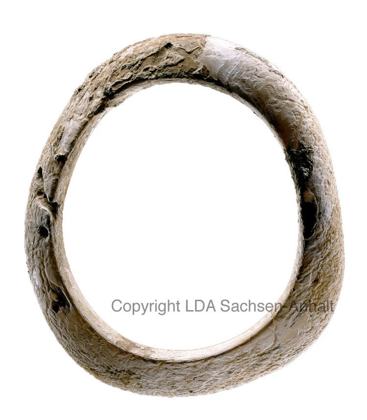
In 2015 the skeletal remains of an ancient inhabitant of Karsdorf dated from the Early Neolithic (7200 BP) were analysed; he turned out to belong to the paternal T1a-M70 lineage and maternal lineage H1.
Demographics
Since German reunification there has been a continuous downward trend in the population of Saxony-Anhalt. This is partly due to outward migration and partly because the death rate exceeds the birth rate. Although the birth rate has been steady since 1994, the net reproduction rate is only approximately 70%. However, the total fertility rate reached 1.50 in 2014, the highest value since 1990.
The percentage of foreigners in the population of Saxony-Anhalt is 1.9 percent, the lowest of all the federal states of Germany.
Religion
The region has historically been associated with the Lutheran faith, but under Communist rule, church membership was strongly discouraged and much of the population disassociated itself from any religious body. Saxony-Anhalt contains many sites tied to Martin Luther's life, including Lutherstadt Eisleben and Lutherstadt Wittenberg.
In 2010, the majority of citizens in Saxony-Anhalt were irreligious and more were leaving the churches than entering them - in fact, Saxony-Anhalt is the most irreligious state in Germany. 17.6% of Saxon-Anhaltish adhered to the major denominations of Christianity (14.1% were members of the Evangelical Church in Germany and 3.5% were Catholics), 2% were members of other religions (mostly Judaism, the New Apostolic Church, Islam and Mandeism). 80.4% of the citizens of Saxony-Anhalt were religiously unaffiliated.
13 March 2016 state election
Minister-president Reiner Haseloff (CDU) retained his position in a coalition with former partner SPD, and the Greens.
Development of the economy
Saxony-Anhalt was part of the communist German Democratic Republic. After the breakdown of communism and the German reunification in 1990, the collapse of non competitive former GDR industries temporarily caused severe economic problems. In 2000, Saxony-Anhalt had the highest unemployment rate of all German states, at 20.2%.
However, the process of economic transformation towards a modern market economy seems to be completed. Massive investments in modern infrastructure have taken place since 1990, and the remaining and newly created businesses are highly competitive. For example, the industry has doubled its share of international revenue from 13 percent in 1995 to 26 percent in 2008. Meanwhile, the unemployment rate has fallen considerably. By 2010 the GDP of Saxony-Anhalt was almost two and a half times higher than it was in 1991.
Even though part of this recovery was induced by the quite good performance of the Germany economy, Saxony-Anhalt did not only follow the national trend, but clearly outperformed other German states. For example, it got ahead of three German states in terms of unemployment (10.8%, as of September 2011): the German capital and city-state of Berlin (12.7%), the city-state Free Hanseatic City of Bremen (11.3%), and Mecklenburg-Western Pomerania (11%).
Structure of the economy
World Heritage Sites
Saxony-Anhalt has the most World Heritage Sites of all states in Germany.