
Car plates DZL Population 45,744 (2006) | Area 575.4 km² | |
 | ||
Gminas Total 6 (incl. 2 urban)WojcieszówZłotoryjaGmina PielgrzymkaGmina ŚwierzawaGmina ZagrodnoGmina Złotoryja Points of interest Grodziec castle, Spitzberg, Kopalnia Złota "Aurelia", Baszta Kowalska, Rezerwat przyrody Ostrzyca | ||
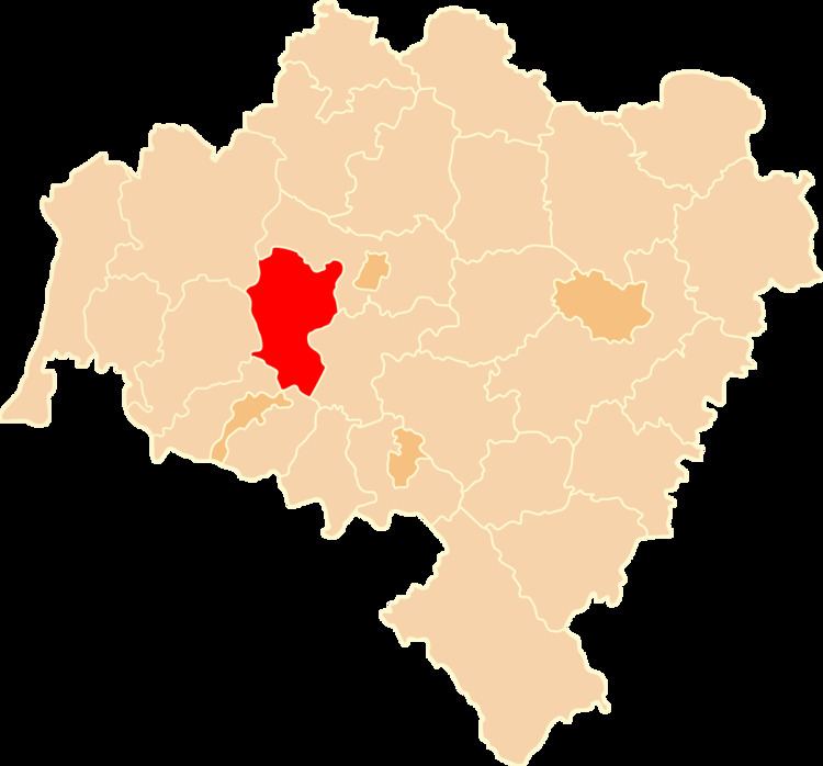
Złotoryja County (Polish: powiat złotoryjski) is a unit of territorial administration and local government (powiat) in Lower Silesian Voivodeship, south-western Poland. It came into being on January 1, 1999, as a result of the Polish local government reforms passed in 1998. The county covers an area of 575.45 square kilometres (222.2 sq mi). Its administrative seat is Złotoryja, and it also contains the towns of Wojcieszów and Świerzawa.
Contents
Map of Z%C5%82otoryja County, Poland
As at 2006 the total population of the county is 45,744, out of which the population of Złotoryja is 16,503, that of Wojcieszów is 3,940, that of Świerzawa is 2,439, and the rural population is 22,862.
Neighbouring counties
Złotoryja County is bordered by Legnica County to the north-east, Jawor County to the east, Jelenia Góra County to the south, and Lwówek Śląski County and Bolesławiec County to the west.
Administrative division
The county is subdivided into six gminas (two urban, one urban-rural and three rural). These are listed in the following table, in descending order of population.