
Length 78 km | Discharge 3 m³/s Basin size 1,101 km2 (425 sq mi) | |
 | ||
Native name French: l'Yser (m), Dutch: IJzer | ||
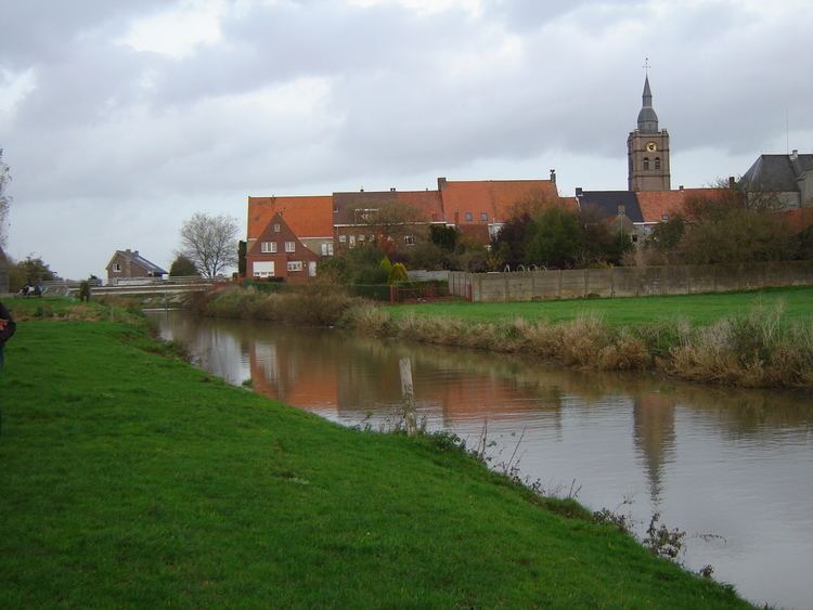
The Yser (French: l'Yser, Dutch: IJzer) is a river that rises in French Flanders (the north of France), enters the Belgian province of West Flanders and flows through the Ganzepoot and into the North Sea at the town of Nieuwpoort .
Contents
Map of Yser
The source of the Yser is in Buysscheure (Buisscheure), in the Nord department of northern France. It flows though Bollezeele (Bollezele), Esquelbecq (Ekelsbeke), and Bambecque (Bambeke). After approximately 30 kilometres (19 mi) of its 78-kilometre (48 mi) course, it leaves France and enters Belgium. It then flows through Diksmuide and out into the North Sea at Nieuwpoort.
During the Battle of the Yser in the First World War, by opening the sluices, part of the polder west of the Yser was flooded with seawater between Nieuwpoort and Diksmuide to provide an obstacle to the advancing German Army and keep westernmost Belgium safe from German occupation. The Yser river itself never overflowed its banks.