
Established 1906 Area 5,340 km² Council seat Warialda | Founded 1906 Population 4,279 (2004) | |
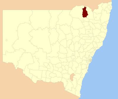 | ||
Yallaroi Shire was a local government area located in the New England region of New South Wales, Australia, about 100 kilometres (62 mi) south of Goondiwindi via Fossickers Way. The Shire, administered from the town of Warialda, covered an area of 5,340.1 square kilometres (2,061.8 sq mi), and existed as a local government entity from 1906 until 2004, when it was amalgamated with Bingara Shire and part of Barraba to form the Gwydir Shire.
Contents
History
In August 1897, a public meeting was held in Warialda to consider "the desirableness of transferring the village into a municipality". The residents decided against the proposal at this time, but two years later, petitioned the Governor for a municipality with a population of more than 500 and an area of 6.25 square miles (16.2 km2). The Warialda Municipality thus came into being on 30 March 1900. John Crane was elected its first mayor.
With the passage of the Local Government Act 1906, which established shires all over New South Wales, the Yallaroi Shire was gazetted to serve the surrounding district on 6 March 1906. On 29 December 1924, the Warialda municipality was absorbed into the shire.
On 17 March 2004, Yallaroi Shire was abolished and merged with the Bingara Shire and part of Barraba to form the Gwydir Shire.