
Population 2,029 (2004) Founded 1906 | Established 1906 Area 2,854 km² Council seat Bingara | |
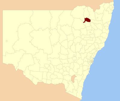 | ||
Bingara Shire was a local government area located in the New England region of New South Wales, Australia, about 150 kilometres (93 mi) north of Tamworth via Fossickers Way. The Shire, administered from the town of Bingara covered an area of 2,853.7 square kilometres (1,101.8 sq mi), and existed as a local government entity from 1906 until 2004, when it was amalgamated with Yallaroi Shire and part of Barraba to form the Gwydir Shire.
Contents
History
In early 1889, following a petition from residents, the Bingara Municipality was incorporated to serve the town, which then had a population of about 750, and John Byrnes was elected its first mayor. With the passage of the Local Government Act 1906, which established shires all over New South Wales, the Gwydir Shire was gazetted to serve the surrounding district on 6 March 1906, and Byrnes was elected its first president.
On 17 December 1943, the Bingara Municipality and Gwydir Shire were amalgamated by proclamation into the new Bingara Shire, despite protests from both councils.
On 17 March 2004, Bingera Shire was abolished and merged with the Yallaroi Shire and part of Barraba to form the Gwydir Shire.