Population 179 (2006 census) Postal code 2402 | Postcode(s) 2402 Local time Monday 8:52 AM | |
 | ||
Location 615 km (382 mi) N of Sydney410 km (255 mi) SW of Brisbane117 km (73 mi) NE of Moree37 km (23 mi) N of Warialda Weather 21°C, Wind SE at 13 km/h, 69% Humidity | ||
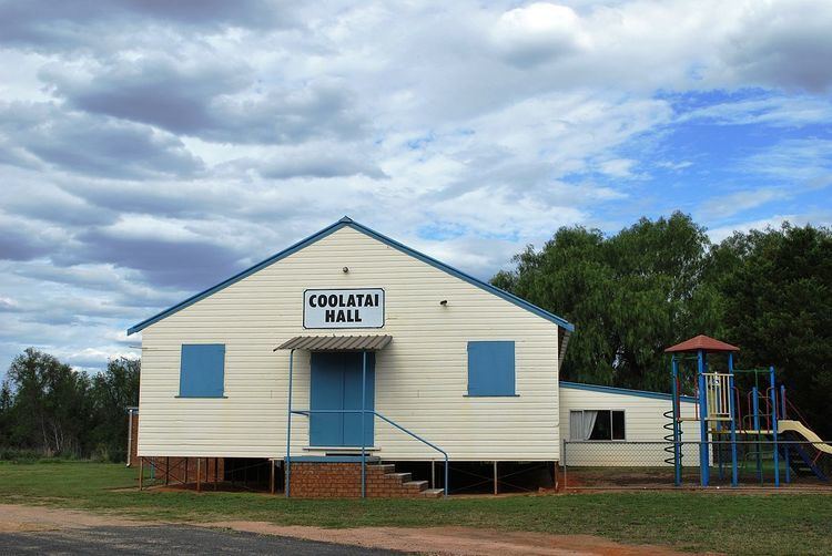
Coolatai is a town in the New England region of northern New South Wales, Australia. The town is located 615 kilometres (382 mi) north of the state capital, Sydney in Gwydir Shire local government area. At the 2006 census, Coolatai and the surrounding area had a population of 179.
Map of Coolatai NSW 2402, Australia
Coolatai Post Office opened on 15 February 1898 and closed around 1980.
References
Coolatai, New South Wales Wikipedia(Text) CC BY-SA
