Postcode(s) 5412 Postal code 5412 | ||
 | ||
LGA(s) District Council of Clare and Gilbert Valleys Federal division Division of Wakefield (2012) | ||
Woolshed Flat is a locality near the southern end of the Clare Valley in South Australia. It is located in the District Council of Clare and Gilbert Valleys.
Contents
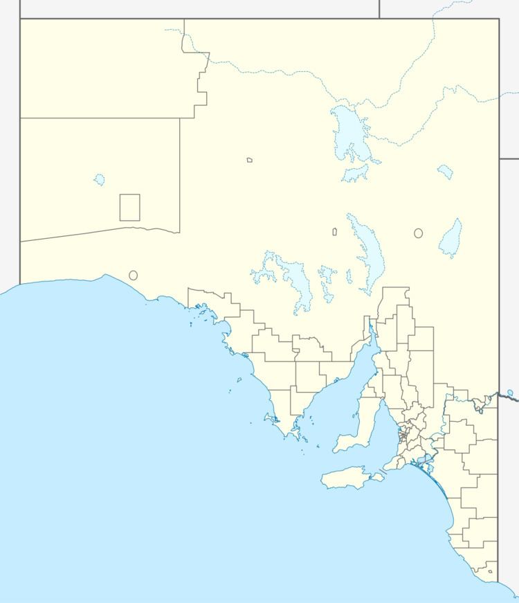
Map of Woolshed Flat SA 5412, Australia
Geography
Woolshed Flat lies in the Mid North of the state, situated north-west of Rhynie, west of Main North Road.
Community
There is no longer a school in the locality. The nearest are at Riverton. There was also a Methodist church (established 1859) which is still standing, surrounded by its cemetery.
Transportation
Woolshed Flat Road runs from the town of Rhynie on the Horrocks Highway (Main North Road) through Woolshed Flat to the Balaklava Road near Halbury.
References
Woolshed Flat, South Australia Wikipedia(Text) CC BY-SA
