Established 1859 Founded 1859 Local time Thursday 12:25 AM | Postcode(s) 5412 Postal code 5412 Federal division Division of Wakefield | |
 | ||
Population 362 (2006 census) (2006 Census) LGA(s) District Council of Clare and Gilbert Valleys Weather 11°C, Wind S at 13 km/h, 69% Humidity | ||
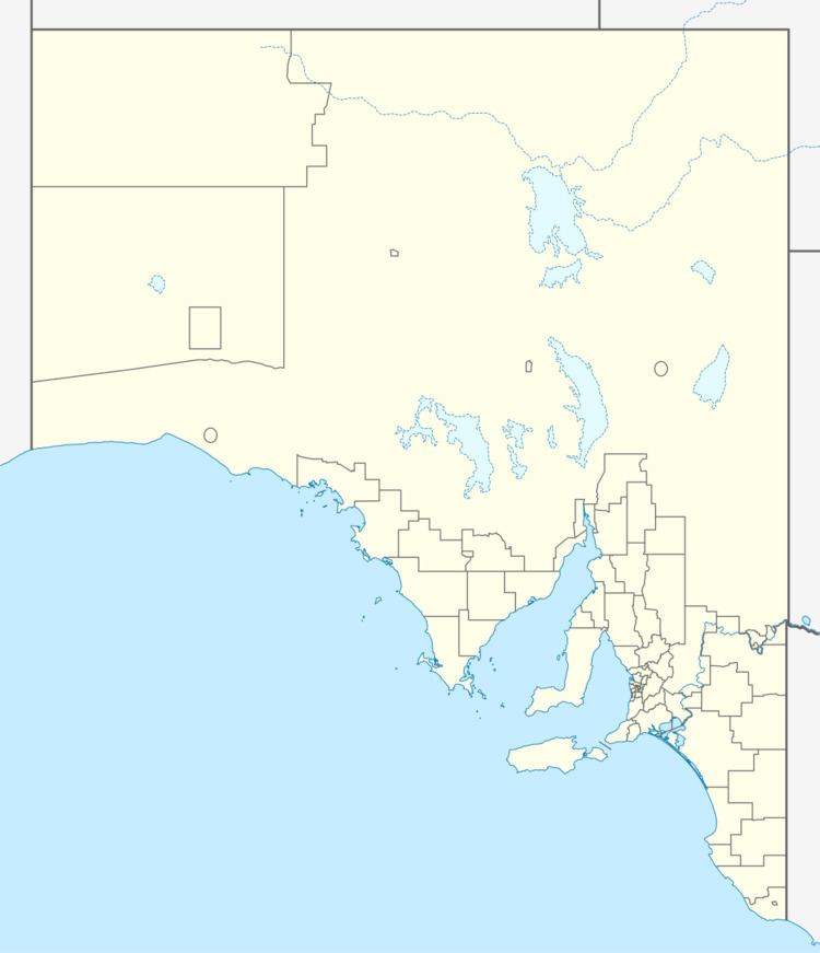
Rhynie is a small town in South Australia, halfway between Tarlee and Auburn, along the Horrocks Highway. It was surveyed and founded in 1859.
Map of Rhynie SA 5412, Australia
Rhynie was on the Spalding railway line, which has now been closed and replaced by the Rattler Rail Trail cycling and walking path.
The town is within the District Council of Clare and Gilbert Valleys area.
References
Rhynie, South Australia Wikipedia(Text) CC BY-SA
