
Population 363 (2006 census) Postal code 5461 Federal division Division of Wakefield | Postcode(s) 5461 Local time Wednesday 11:13 AM | |
 | ||
Location 114 km (71 mi) north of Adelaide21 km (13 mi) west of Auburn11.5 km (7 mi) east of Balaklava LGA(s) Wakefield Regional CouncilDistrict Council of Clare and Gilbert Valleys Weather 31°C, Wind N at 23 km/h, 29% Humidity | ||
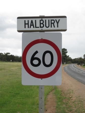
Halbury is a former railway town in South Australia, west of the Clare Valley, halfway between Balaklava and Auburn. At the 2006 census, Halbury had a population of 363.
Contents
Map of Halbury SA 5461, Australia
Etymology
Halbury is situated in the Hundred of Hall, named after politician George Hall.
Railway
Halbury was a stop on the Port Wakefield railway line, an isolated narrow gauge horse-drawn railway connecting to the port at Port Wakefield from Balaklava and Hoyleton. Halbury was where this railway crossed the Gulf Road from Auburn and Burra to the port.
The Gladstone railway line ran from Hamley Bridge through Balaklava to Blyth and further on into the Mid North of the state. The line was originally narrow gauge 1,067 mm (3 ft 6 in), but was converted to broad gauge 1,600 mm (5 ft 3 in) in 1927. Due to various reasons, this particular line became obsolete and the tracks were dismantled in the late 1980s. After Halbury, the railway line veered to the north-east, travelling on to the towns of Hoyleton, Kybunga and further north to Blyth.
Government
The township of Halbury in the west of the locality is in the Wakefield Regional Council local government area. The hillier east of the locality is part of the District Council of Clare and Gilbert Valleys.