
Area 14 ha (35 acres) Island group South Shetland Islands | Archipelago South Shetland Islands Population Uninhabited | |
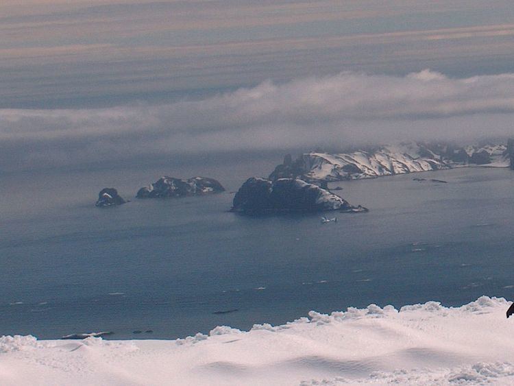 | ||
Wood Island is a conspicuous rocky island in Hero Bay, Livingston Island in the South Shetland Islands, Antarctica lying southeast of Desolation Island and Miladinovi Islets and forming the south side of Blythe Bay. Surface area 14 hectares (35 acres).) The area was frequented by early nineteenth century English and American sealers operating from Blythe Bay.
Contents
Map of Wood Island, Antarctica
The feature's name derives from the name 'Wood Harbour' or 'Port Wood' originally applied to Blythe Bay by Captain Robert Fildes in December 1820.
Location
The island is centred at 62°29′02.7″S 60°18′15.1″W which is 1.7 km (1.1 mi) east-southeast of Miladinovi Islets, 2.38 km (1.48 mi) southeast of Iratais Point, Desolation Island, 9.33 km (5.80 mi) southwest of Williams Point, 5.2 km (3.2 mi) west-northwest of Kotis Point, 4.65 km (2.89 mi) northwest of Bezmer Point and 9.55 km (5.93 mi) northeast of Siddins Point, the last four points lying on Livingston Island (British mapping in 1821 and 1935, and Bulgarian in 2005 and 2009).