
- right Bowens Creek - elevation 924 m (3,031 ft) - elevation 55 m (180 ft) | ||
 | ||
- left Bungleboori Creek, Nayook Creek | ||
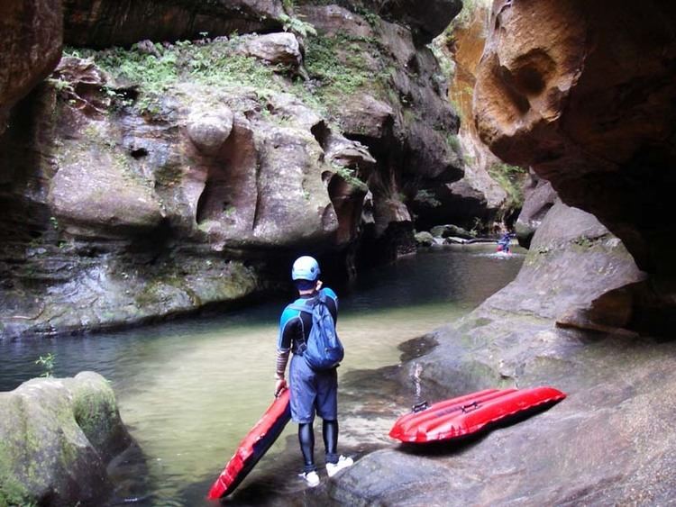
The Wollangambe River, an Australian perennial river that is part of the Hawkesbury–Nepean catchment within the Sydney Basin, is located in the Greater Blue Mountains Area of New South Wales.
Contents
Map of Wollangambe River, New South Wales, Australia
Course and featuresEdit
The Wollangambe River rises about 1 kilometre (0.62 mi) southeast of Happy Valley Springs, below Newnes Junction and within the Great Dividing Range. The river flows generally east and then north northeast, joined by three minor tributaries, mainly through rugged country that comprises Wollemi and Blue Mountains national parks. The river reaches its confluence with the Colo River west of Parsons Forest, near Colo Heights. The river descends 869 metres (2,851 ft) over its 57-kilometre (35 mi) course.
References
Wollangambe River Wikipedia(Text) CC BY-SA