
ZIP codes 52142, 52147, 52175 Elevation 363 m Local time Tuesday 3:57 AM | Time zone CST (UTC-6) GNIS feature ID 0469009 Area 93.91 km² Population 776 (2010) | |
 | ||
Weather 7°C, Wind NW at 10 km/h, 99% Humidity | ||
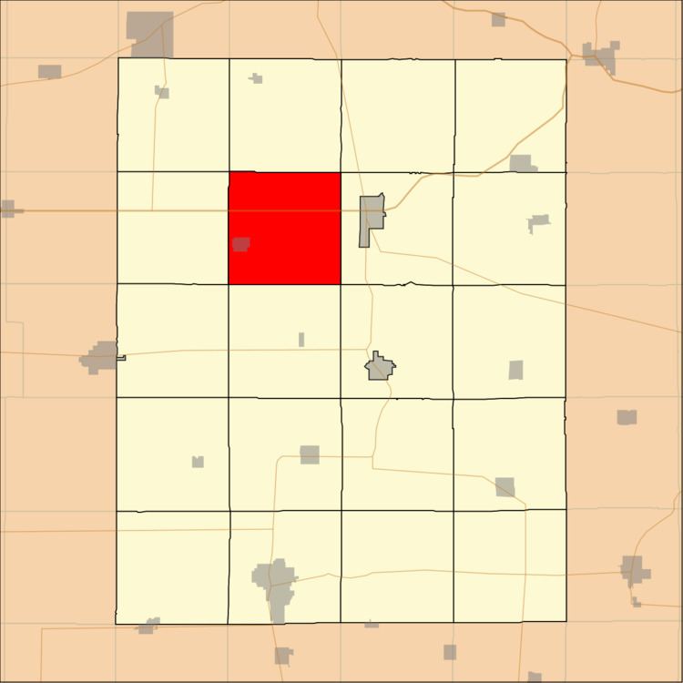
Windsor Township is one of twenty townships in Fayette County, Iowa, USA. As of the 2010 census, its population was 776.
Contents
- Map of Windsor IA USA
- Geography
- Cities towns villages
- Adjacent townships
- Cemeteries
- Major highways
- Landmarks
- School districts
- Political districts
- References
Map of Windsor, IA, USA
Geography
According to the United States Census Bureau, Windsor Township covers an area of 36.26 square miles (93.92 square kilometers).
Cities, towns, villages
Adjacent townships
Cemeteries
The township contains five cemeteries: Boale, Hawkeye, South Windsor and Windsor, Righale.
Major highways
Landmarks
School districts
Political districts
References
Windsor Township, Fayette County, Iowa Wikipedia(Text) CC BY-SA