
GNIS feature ID 0468820 Area 87.2 km² Population 412 (2010) | Time zone CST (UTC-6) Elevation 343 m Local time Friday 1:00 PM | |
 | ||
ZIP codes 52135, 52141, 52142, 52175 Weather 4°C, Wind N at 16 km/h, 85% Humidity | ||
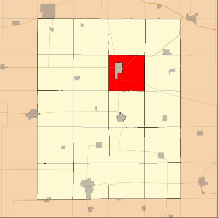
Union Township is one of twenty townships in Fayette County, Iowa, USA. As of the 2010 census, its population was 412.
Contents
- Map of Union IA USA
- Geography
- Adjacent townships
- Cemeteries
- Major highways
- Airports and landing strips
- Landmarks
- School districts
- Political districts
- References
Map of Union, IA, USA
It was previously called West Union township.
Geography
According to the United States Census Bureau, Union Township covers an area of 33.67 square miles (87.2 square kilometers).
The city of West Union is entirely within this township geographically but is a separate entity.
Adjacent townships
Cemeteries
The township contains these five cemeteries: Barnhouse, Butler, Mount Calvary, Mount Pleasant and Pleasant Grove.
Major highways
Airports and landing strips
Landmarks
School districts
Political districts
References
Union Township, Fayette County, Iowa Wikipedia(Text) CC BY-SA