
ZIP codes 52147, 52171 Elevation 311 m Population 623 (2010) | Time zone CST (UTC-6) GNIS feature ID 0467764 Area 94.37 km² Local time Saturday 1:17 AM | |
 | ||
Weather -8°C, Wind N at 18 km/h, 37% Humidity | ||
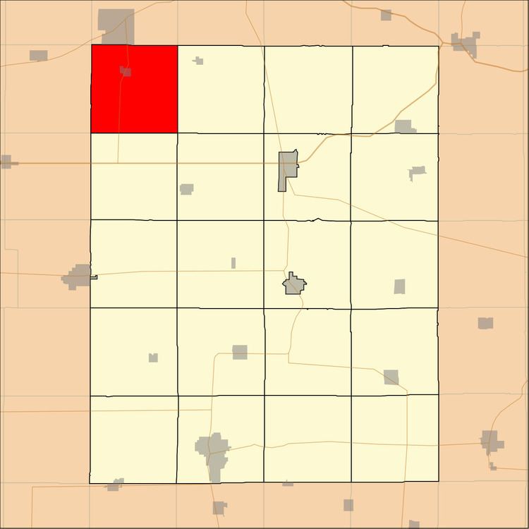
Eden Township is one of twenty townships in Fayette County, Iowa, USA. As of the 2010 census, its population was 623.
Contents
- Map of Eden IA USA
- Geography
- Cities towns villages
- Unincorporated towns
- Adjacent townships
- Cemeteries
- Major highways
- School districts
- Political districts
- References
Map of Eden, IA, USA
Geography
According to the United States Census Bureau, Eden Township covers an area of 36.44 square miles (94.37 square kilometers).
Cities, towns, villages
Unincorporated towns
(This list is based on USGS data and may include former settlements.)
Adjacent townships
Cemeteries
The township contains these five cemeteries: Alpha, Oak Lawn, Saint Marys, Saint Rose and Waucoma.
Major highways
School districts
Political districts
References
Eden Township, Fayette County, Iowa Wikipedia(Text) CC BY-SA