County DeKalb ZIP code 46721 Elevation 268 m | State Indiana FIPS code 18-50886 Local time Saturday 8:33 AM | |
 | ||
Weather 3°C, Wind W at 14 km/h, 87% Humidity | ||
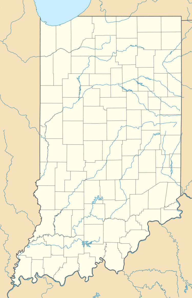
Moore, Indiana is an unincorporated community in Wilmington Township, DeKalb County, Indiana in the northeast corner of the state.
Contents
Map of Moore, IN 46721, USA
An early variant name was Moore's Station. Moore contained a post office from 1875 until 1909, and the post office was called Moore's Station in its early years.
Geography
Moore is located at 41°23′49″N 84°57′09″W.
The community is northeast of Auburn and south of U.S. Route 6 (Grand Army of the Republic Highway).
References
Moore, Indiana Wikipedia(Text) CC BY-SA
