
Country United States GNIS feature ID 0429938 Area 174.5 km² Population 839 (2010) | Time zone CST (UTC-6) Elevation 192 m Local time Monday 12:32 PM | |
 | ||
Weather 18°C, Wind S at 19 km/h, 76% Humidity | ||
Willow Branch Township is a township in Piatt County, Illinois, USA. As of the 2010 census, its population was 839 and it contained 355 housing units.
Contents
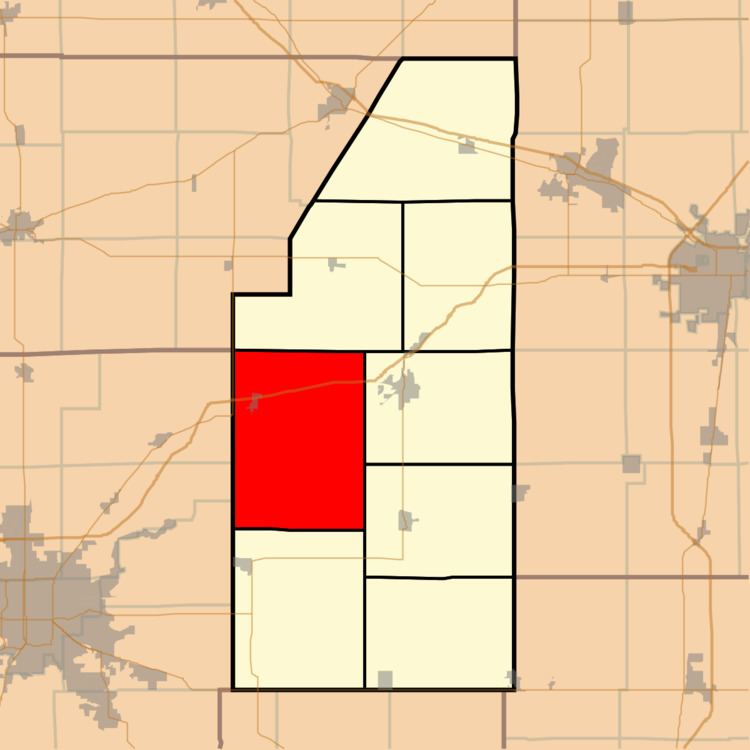
- Map of Willow Branch Township IL USA
- History
- Geography
- Cities and towns
- Extinct towns
- Adjacent townships
- Cemeteries
- Major highways
- Airports and landing strips
- References
Map of Willow Branch Township, IL, USA
History
Willow Branch Township changed its name from Liberty Township sometime around 1860.
The area is the site of a major archaeological site of the University of Illinois along the nearby Sangamon River of the homestead of Ira Sarlls, an early pioneer farmer to the area from New York
Geography
According to the 2010 census, the township has a total area of 67.39 square miles (174.5 km2), of which 67.33 square miles (174.4 km2) (or 99.91%) is land and 0.06 square miles (0.16 km2) (or 0.09%) is water. The streams of Wildcat Creek and Willow Branch run through this township.
Cities and towns
Extinct towns
Adjacent townships
Cemeteries
The township contains eight cemeteries: Ater, Cronninger, Pioneer, Stringtown, Van Meter, Warfield Family, West France and Willow Branch.