
Country United States Time zone CST (UTC-6) Elevation 217 m Local time Saturday 12:06 AM | Established November 8, 1859 GNIS feature ID 0429390 Area 124.6 km² Population 5,906 (2010) | |
 | ||
Weather 8°C, Wind W at 16 km/h, 62% Humidity | ||
Monticello Township is a township in Piatt County, Illinois, USA. As of the 2010 census, its population was 5,906 and it contained 2,651 housing units.
Contents
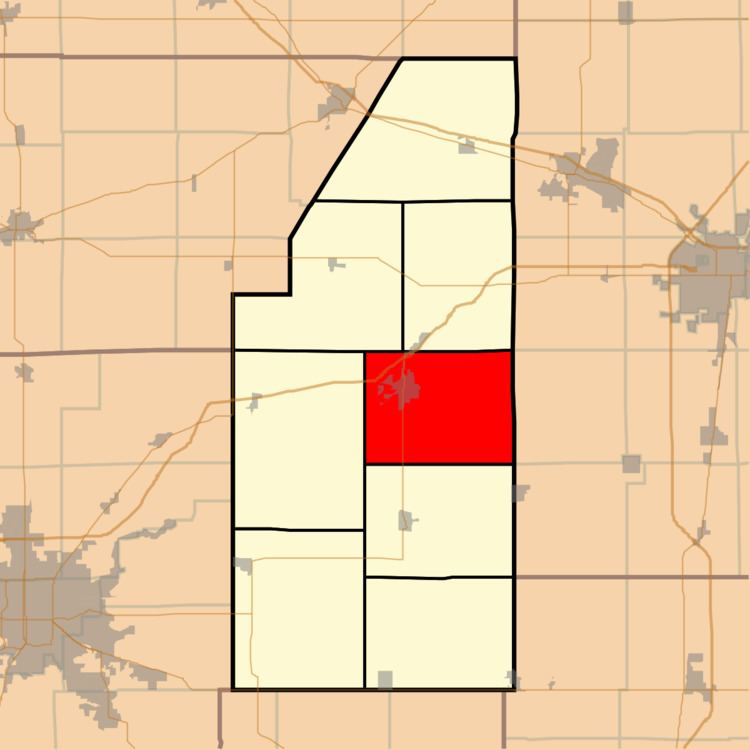
- Map of Monticello Township IL USA
- Geography
- Cities and towns
- Adjacent townships
- Cemeteries
- Major highways
- Airports and landing strips
- References
Map of Monticello Township, IL, USA
Geography
According to the 2010 census, the township has a total area of 48.11 square miles (124.6 km2), of which 48.05 square miles (124.4 km2) (or 99.88%) is land and 0.06 square miles (0.16 km2) (or 0.12%) is water. The streams of Camp Creek and Goose Creek run through this township.
Cities and towns
Adjacent townships
Cemeteries
The township contains four cemeteries: Haneline, Monticello, Monticello and Woolington.
Major highways
Airports and landing strips
References
Monticello Township, Piatt County, Illinois Wikipedia(Text) CC BY-SA