
Country United States Time zone CST (UTC-6) Elevation 214 m Local time Wednesday 5:18 AM | Established November 8, 1859 GNIS feature ID 0428783 Area 156.1 km² Population 2,046 (2010) | |
 | ||
Weather 4°C, Wind SW at 18 km/h, 56% Humidity | ||
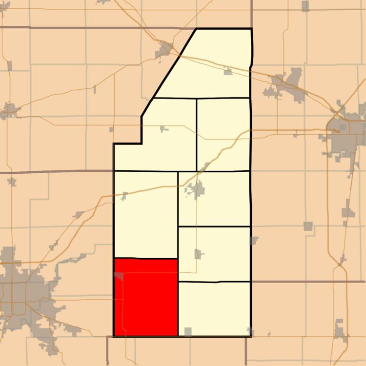
Cerro Gordo Township is a township in Piatt County, Illinois, USA. As of the 2010 census, its population was 2,046 and it contained 874 housing units.
Contents
- Map of Cerro Gordo Township IL USA
- Geography
- Cities and towns
- Unincorporated towns
- Extinct towns
- Adjacent townships
- Cemeteries
- Major highways
- Airports and landing strips
- References
Map of Cerro Gordo Township, IL, USA
Geography
According to the 2010 census, the township has a total area of 60.26 square miles (156.1 km2), all land.
Cities and towns
Unincorporated towns
Extinct towns
Adjacent townships
Cemeteries
The township contains four cemeteries: Cerro Gordo, Clover, County and LaPlace.
Major highways
Airports and landing strips
References
Cerro Gordo Township, Piatt County, Illinois Wikipedia(Text) CC BY-SA