
Country United States Area 93.2 km² Local time Sunday 7:08 AM | GNIS feature ID 0473239 Elevation 311 m Population 362 (2000) | |
 | ||
Weather 8°C, Wind E at 5 km/h, 95% Humidity | ||
Whiting Township is a township in Jackson County, Kansas, USA. As of the 2000 census, its population was 362.
Contents
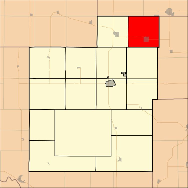
- Map of Whiting KS USA
- History
- Geography
- Cities and towns
- Adjacent townships
- Cemeteries
- Major highways
- References
Map of Whiting, KS, USA
History
Whiting Township was formed in 1872.
Geography
Whiting Township covers an area of 36 square miles (93.23 square kilometers); of this, 0.04 square miles (0.11 square kilometers) or 0.12 percent is water. The stream of Muddy Creek runs through this township.
Cities and towns
Adjacent townships
Cemeteries
The township contains one cemetery, Spring Hill.
Major highways
References
Whiting Township, Jackson County, Kansas Wikipedia(Text) CC BY-SA