
Country United States Elevation 345 m Local time Friday 11:29 AM | GNIS feature ID 0473236 Area 93.47 km² Population 361 (2000) | |
 | ||
Weather 19°C, Wind S at 14 km/h, 62% Humidity | ||
Netawaka Township is a township in Jackson County, Kansas, USA. As of the 2000 census, its population was 361.
Contents
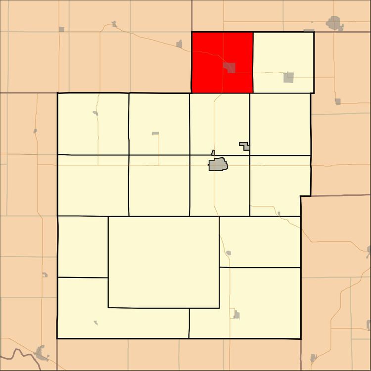
Map of Netawaka, KS, USA
History
Netawaka Township was formerly occupied by the Kickapoo Tribe in Kansas, until they were removed to a reservation in Brown County. It was bought by the Union Pacific Railroad in 1870 and opened for settlement. Netawaka Township was formed in 1871. Netawaka is a Native American name meaning "fair view".
Geography
Netawaka Township covers an area of 36.09 square miles (93.48 square kilometers); of this, 0.05 square miles (0.12 square kilometers) or 0.13 percent is water. The streams of Mosquito Creek and Wolfley Creek run through this township.
Cities and towns
Adjacent townships
Major highways
References
Netawaka Township, Jackson County, Kansas Wikipedia(Text) CC BY-SA