
Country United States Elevation 313 m Local time Tuesday 5:19 PM | GNIS feature ID 0473455 Area 95.1 km² Population 158 (2000) | |
 | ||
Weather 12°C, Wind NE at 16 km/h, 84% Humidity | ||
Straight Creek Township is a township in Jackson County, Kansas, USA. As of the 2000 census, its population was 158.
Contents
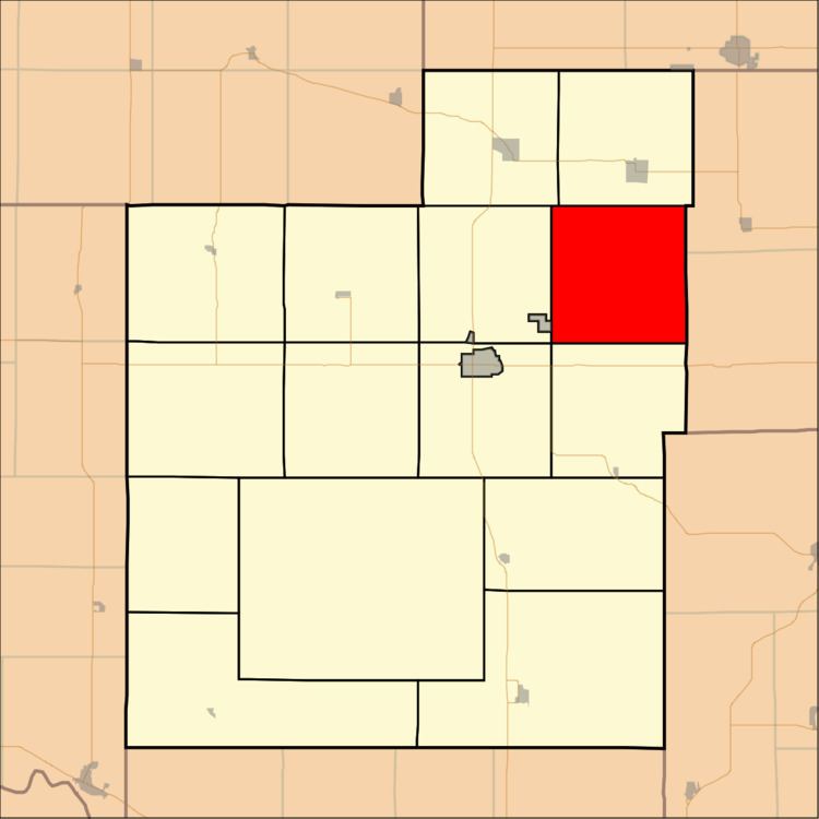
Map of Straight Creek, KS, USA
History
The territory of Straight Creek Township belonged to the Kickapoo Tribe in Kansas prior to 1869.
Geography
Straight Creek Township covers an area of 36.72 square miles (95.11 square kilometers); of this, 0.11 square miles (0.28 square kilometers) or 0.29 percent is water.
Adjacent townships
Cemeteries
The township contains two cemeteries: Estes and Larkinburg.
References
Straight Creek Township, Jackson County, Kansas Wikipedia(Text) CC BY-SA