
Country United States Elevation 334 m Local time Saturday 11:06 AM | GNIS feature ID 0472964 Area 232.6 km² Population 874 (2000) | |
 | ||
Weather 7°C, Wind N at 27 km/h, 97% Humidity | ||
Powhattan Township is a township in Brown County, Kansas, USA. As of the 2000 census, its population was 874.
Contents
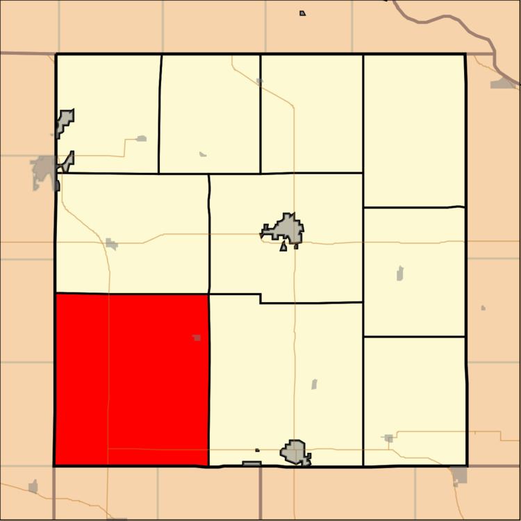
Map of Powhattan, KS, USA
Geography
Powhattan Township covers an area of 89.82 square miles (232.6 km2) and contains one incorporated settlement, Powhattan. According to the USGS, it contains two cemeteries: Powhattan and Powhattan.
The streams of Plum Creek, Pony Creek, Roys Creek and Squaw Creek run through this township.
Transportation
Powhattan Township contains one airport or landing strip, Croxton Airport.
References
Powhattan Township, Brown County, Kansas Wikipedia(Text) CC BY-SA