
Country United States Time zone Eastern (EST) (UTC-5) Area 27.09 km² Local time Sunday 7:36 AM Population 3,950 (2013) | FIPS code 18-84014 Elevation 286 m Zip code 46075 Area code 317 | |
 | ||
Weather 5°C, Wind SE at 6 km/h, 90% Humidity | ||
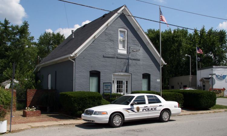
Whitestown is a town in Boone County, Indiana, United States. The population was 2,867 at the 2010 census. The town is located along Interstate 65, approximately 22 miles (35 km) northwest of Downtown Indianapolis, and about 7 miles (11 km) from the northern city limits of Indianapolis, between the exits for State Roads 334 (exit 130) and 267 (exit 133).
Contents
Map of Whitestown, IN 46075, USA
History
Whitestown was laid out in 1851 when the railroad was extended to that point. It was likely named for Albert Smith White, a U.S. Senator from Indiana. The first post office in Whitestown was established in 1853.
In the late 2000s, Whitestown annexed 6,500 acres south of the historic downtown district. A master planned, mixed-use development named for U.S. Army officer and Boone County native Anson Mills was established in this area in 2005. The Great Recession adversely impacted the Anson project's original construction schedule, but residential, retail, and commercial growth gained momentum starting in 2011 and continues to this day.
Whitestown is currently the fastest growing municipality in Indiana, having nearly doubled in population between 2010 and 2015.
Geography
Whitestown is located at 39°59′46″N 86°20′41″W (39.996136, -86.344612).
According to the 2010 census, the town has a total area of 10.46 square miles (27.1 km2), all land.
2010 census
As of the census of 2010, there were 2,867 people, 1,053 households, and 774 families residing in the town. The population density was 274.1 inhabitants per square mile (105.8/km2). There were 1,144 housing units at an average density of 109.4 per square mile (42.2/km2). The racial makeup of the town was 90.9% White, 2.8% African American, 0.1% Native American, 2.9% Asian, 1.1% from other races, and 2.2% from two or more races. Hispanic or Latino of any race were 3.5% of the population.
There were 1,053 households of which 44.2% had children under the age of 18 living with them, 60.0% were married couples living together, 8.6% had a female householder with no husband present, 4.8% had a male householder with no wife present, and 26.5% were non-families. Of all households 18.5% were made up of individuals and 3% had someone living alone who was 65 years of age or older. The average household size was 2.72 and the average family size was 3.14.
The median age in the town was 30 years. 30.6% of residents were under the age of 18; 5.7% were between the ages of 18 and 24; 42% were from 25 to 44; 17.5% were from 45 to 64; and 4.3% were 65 years of age or older. The gender makeup of the town was 50.5% male and 49.5% female.
2000 census
In the census of 2000, there were 471 people, 175 households, and 131 families residing in the town. The population density was 1,843.9 people per square mile (699.4/km²). There were 187 housing units at an average density of 732.1 per square mile (277.7/km²). The racial makeup of the town was 99.15% White, 0.21% Asian, and 0.64% from two or more races. Hispanic or Latino of any race were 0.64% of the population.
There were 175 households out of which 40.6% had children under the age of 18 living with them, 61.7% were married couples living together, 8.0% had a female householder with no husband present, and 24.6% were non-families. Of all households 20.6% were made up of individuals and 4.0% had someone living alone who was 65 years of age or older. The average household size was 2.69 and the average family size was 3.10.
In the town, the population was spread out with 29.5% under the age of 18, 5.1% from 18 to 24, 37.4% from 25 to 44, 21.0% from 45 to 64, and 7.0% who were 65 years of age or older. The median age was 35 years. For every 100 females there were 103.9 males. For every 100 females age 18 and over, there were 100.0 males.
The median income for a household in the town was $46,528, and the median income for a family was $47,917. Males had a median income of $32,031 versus $25,893 for females. The per capita income for the town was $21,674. About 8.1% of families and 7.3% of the population were below the poverty line, including 13.6% of those under age 18 and none of those age 65 or over.
Education
Public school students in Whitestown are served by two systems: those in Worth Township and Perry Township attend Lebanon Community Schools, while those in Eagle Township attend Zionsville Community Schools.
Traders Point Christian Academy, a private K-12 school operated as a ministry of Traders Point Christian Church, is also located in Whitestown.