
Population 1,352 Civil parish Westbury Area 38.85 km² Dialling code 01743 | OS grid reference SJ355094 Local time Saturday 6:37 AM | |
 | ||
Weather 8°C, Wind S at 8 km/h, 95% Humidity | ||
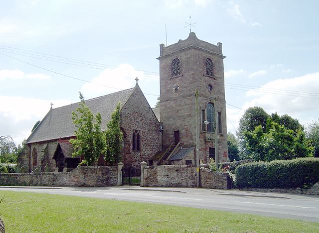
Westbury is a village and parish in Shropshire, England. It includes the settlements of Caus Forest, Lake, Marche, Newtown, Stoney Stretton, Vennington, Wallop, Westbury, Whitton, Winsley and Yockleton. It lies 8 miles west of the town of Shrewsbury, very close to the Wales-England border. It is located at 135m altitude. It had a population of 1,352 according to the 2011 census. In 2005, Westbury parish expanded with the annexation of half of the former Wollaston parish.
Contents
Map of Westbury, UK
It is situated on the B4386 road which travels from Shrewsbury to Montgomery.
The village has a primary school (St Mary's CE Aided), a Royal Mail Post Office, a Marstons Pub called 'The Lion', a medical practice surgery, and a cemetery on Hinwood Road.
History
During the Roman settlement of Britain it was an outpost of Wroxeter. In about 1848, a piece of lead was found with markings of the name of the Roman Emperor Aurelian. About a mile from Westbury lie the scant ruins of Caus Castle, which was originally used as a border stronghold. The castle was built in the late 11th century.
In 1870–72, Westbury was described by John Marius Wilson's Imperial Gazetteer of England and Wales like this:
"WESTBURY, a township and a parish in Atcham district, Salop. The township lies on the Shrewsbury and Welshpool railway, 11½ miles W by S of Shrewsbury; contains a village of its own name; and has a post-office under Shrewsbury, and a r[ailway]. station. Real property, £6,174; of which £200 are in mines. Pop[ulation]. in 1851, 1,497; in 1861, 1,655. Houses, 298. The property is not much divided. The parish includes Minsterley chapelry, and forms a sub-district. Acres, 11,274. Rated property in 1869, £16,158. Pop., 2,545. Houses, 476. The living is a rectory in the diocese of Hereford. Value, £766. Patron, R. Cholmondeley, Esq. The church is good. The p[erpetual]. curacy of Minsterley is a separate benefice. There are dissenting chapels, an endowed school with £30 a year, and charities £44."In 1831 the dominating occupation was working in agriculture and farming. There were no manufacturing jobs in 1831. In 2001 there were 80, which decreased to 52 in 2011. Several coal and lead mines were being worked near Shrewsbury and Westbury at this time. Many collieries were closed by 1921, with the last closing in 1941.
Two Prisoner of War (POW) camps were located about 7 miles North of Westbury during WW2. The nearest in Nesscliffe was a "pre-existing camp serving an ordnance depot. [It is] presently used by the army as Nesscliffe Training Camp".