
OS grid reference SJ328123 Post town SHREWSBURY Local time Wednesday 4:14 AM | Sovereign state United Kingdom Postcode district SY5 Dialling code 01743 | |
 | ||
Weather 4°C, Wind W at 10 km/h, 83% Humidity Civil parishes Alberbury with Cardeston, Westbury | ||
Wollaston is a small village in Shropshire, England, only a quarter of a mile from the Welsh border.
Map of Wollaston, Welshpool, UK
It also was a civil parish, until 2005 when it was abolished and absorbed into the two neighbouring parishes: Alberbury with Cardeston and Westbury.
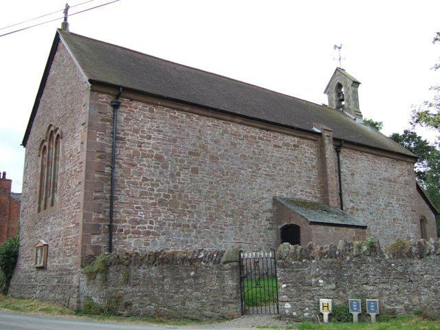
It is believed that Old Tom Parr was born in, or near, to the village at Winnington at The Glyn, according to the inscription on a brass plaque in the church.
There is a beacon here, by the church, that is to be lit in case of an invasion from Wales. Immediately west of the church are the earthwork remains of Wollaston Castle, a motte-and-bailey castle.
Half a mile south-east near Bretchel is the site of a small Norman motte castle known as The Beacon.
References
Wollaston, Shropshire Wikipedia(Text) CC BY-SA