
OS grid reference SJ382095 Post town SHREWSBURY Local time Tuesday 4:25 PM | Sovereign state United Kingdom Postcode district SY5 Dialling code 01743 | |
 | ||
Weather 12°C, Wind S at 21 km/h, 78% Humidity | ||
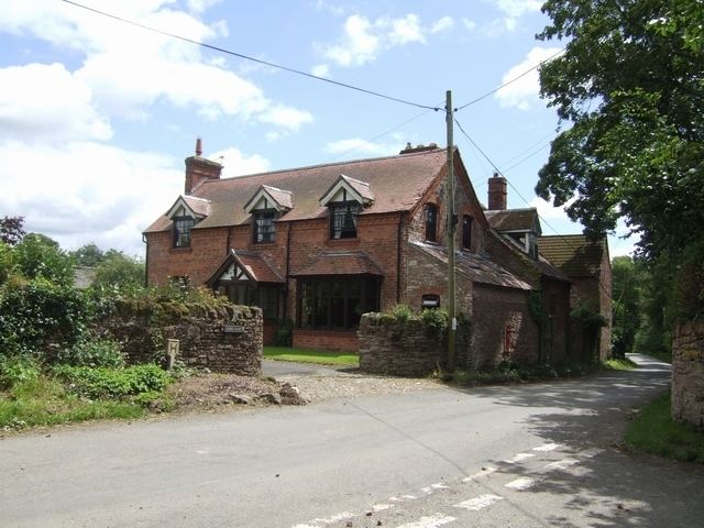
Stoney Stretton is a hamlet in Shropshire, England, west of Shrewsbury. It is situated just off the B4386 road (a Roman Road, hence the settlement's name "Stretton") between the villages of Yockleton and Westbury. It lies in the civil parish of Westbury. To the northwest, by the Shrewsbury to Welshpool railway, is the dispersed hamlet of Stretton Heath.
Map of Stoney Stretton, Shrewsbury, UK
References
Stoney Stretton Wikipedia(Text) CC BY-SA