
Area 13.63 km (5.26 sq mi) OS grid reference SZ779984 | Population 2,700. 2011 Census Civil parish West Wittering Local time Saturday 5:55 AM | |
 | ||
Weather 10°C, Wind S at 26 km/h, 89% Humidity Points of interest West Wittering Beach, National Trust ‑ East Head, The Hinge at East Head Spit | ||
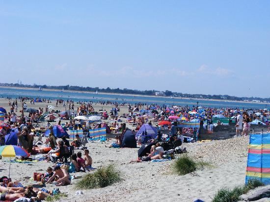
West Wittering is a small village and civil parish, on the Manhood Peninsula, in the Chichester district of West Sussex, England. It lies near the mouth of Chichester Harbour on the B2179 road 6.5 miles (10.5 km) southwest of Chichester and has a sandy beach with what has been described as excellent water quality.
Contents
- Map of West Wittering UK
- Beautiful wind blown sand on west wittering beach
- Governance
- Landmarks
- Notable residents
- References
Map of West Wittering, UK
In 1872 it had a population of 616, a post office and a National School. The 2001 census records a population of 2,684. There is a primary school.
Beautiful wind blown sand on west wittering beach
Governance
An electoral ward in the same name exists. This ward includes some of Birdham and at the 2011 Census had a total population of 4,472.
Landmarks
Part of the Site of Special Scientific Interest Bracklesham Bay runs in between the coastline in the parish.
Chichester Harbour, a Site of Special Scientific Interest is partly within the parish. This is a wetland of international importance, a Special Protection Area for wild birds and a Special Area of Conservation. The harbour is of particular importance for wintering wildfowl and waders of which five species reach numbers which are internationally important.