
Grid reference SZ810952 Notification 1980 | Elevation 1 m | |
 | ||
Interest Biological & Geological Similar West Wittering Beach, Chichester Harbour, National Trust ‑ East Head, Thorney Island, Fishbourne Roman Palace | ||
Bracklesham bay sea fishing mark west sussex south coast england britain
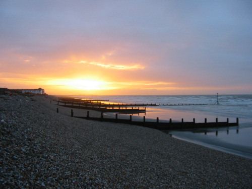
Bracklesham Bay is a coastal bay on the west side of the Manhood Peninsula in West Sussex, England. The bay looks out onto the English Channel and the Isle of Wight is visible from the beach, as is the Nab Tower lighthouse and the Spinnaker Tower in Portsmouth.
Contents
- Bracklesham bay sea fishing mark west sussex south coast england britain
- Map of Bracklesham Bay United Kingdom
- In popular cultureEdit
- References
Map of Bracklesham Bay, United Kingdom
The bay is sandy and backed with shingle. The beach is popular with windsurfers, divers, surfers (mostly longboarders given the nature of the waves), stand up paddle surfers, and also fossil hunters, as the Bracklesham Beds, a well known fossil bed, is visible at low tide. The bedrock is London clay, and bits of the clay can be found on the sands.
The villages of Bracklesham and East Wittering are situated in the centre of the bay and it is bordered by the town of Selsey on the southern/eastern tip, and the village of West Wittering on the west side.
The nearest city is Chichester, which is seven miles to the north.
In May 1944 Bracklesham Bay was one site used in Exercise Fabius. The remains of at least one Valentine tank can be found ten metres underwater.
In popular cultureEdit
Bracklesham Bay is mentioned in the track 'Saturdays Kids' (Paul Weller) on the 1979 album by The Jam, 'Setting Sons'; "Save up their money for a holiday/ To Selsey Bill, or Bracklesham Bay". Both places had Pontin's holiday camps.