
Country United States County Bartholomew GNIS feature ID 0453430 Area 53.9 km² Population 949 (2010) | ZIP codes 47201, 47274 Elevation 182 m Local time Friday 10:45 PM | |
 | ||
Weather 8°C, Wind W at 11 km/h, 96% Humidity | ||
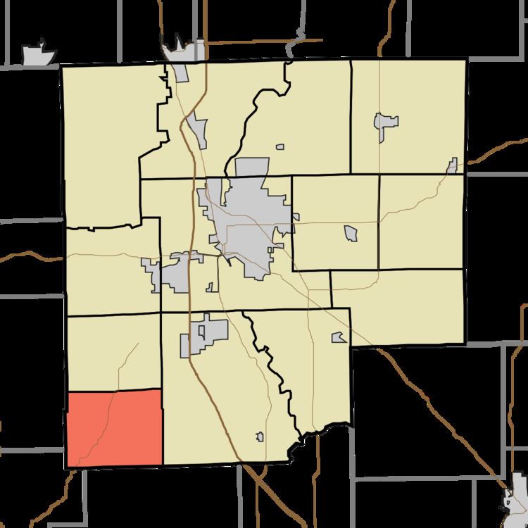
Jackson Township is one of twelve townships in Bartholomew County, Indiana, United States. As of the 2010 census, its population was 949 and it contained 463 housing units.
Contents
- Map of Jackson Township IN USA
- Geography
- Unincorporated towns
- Adjacent townships
- Major highways
- Lakes
- School districts
- Political districts
- References
Map of Jackson Township, IN, USA
Geography
According to the 2010 census, the township has a total area of 20.8 square miles (54 km2), of which 20.62 square miles (53.4 km2) (or 99.13%) is land and 0.18 square miles (0.47 km2) (or 0.87%) is water.
Unincorporated towns
(This list is based on USGS data and may include former settlements.)
Adjacent townships
Major highways
Lakes
School districts
Political districts
References
Jackson Township, Bartholomew County, Indiana Wikipedia(Text) CC BY-SA