
Country United States Elevation 197 m Local time Sunday 9:44 AM | GNIS feature ID 0453784 Area 89.64 km² Population 4,233 (2010) | |
 | ||
Weather 14°C, Wind S at 14 km/h, 89% Humidity | ||
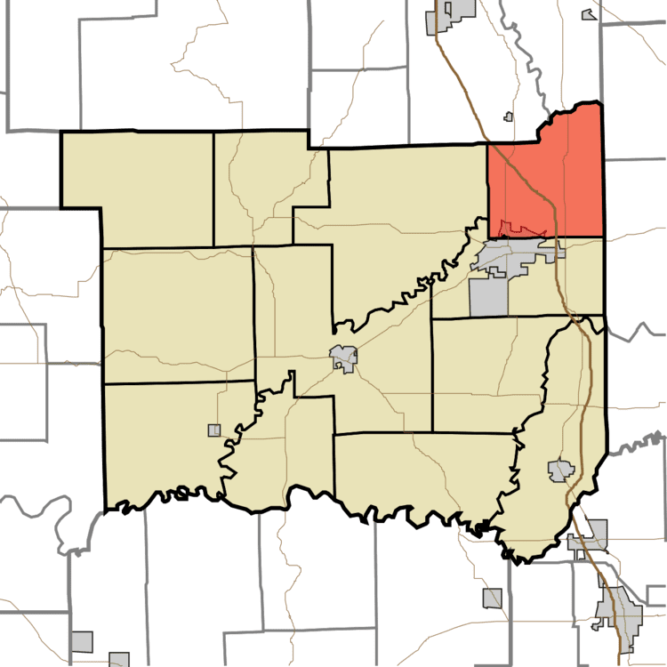
Redding Township is one of twelve townships in Jackson County, Indiana, United States. As of the 2010 census, its population was 4,233 and it contained 1,786 housing units.
Contents
- Map of Redding Township IN 47274 USA
- Geography
- Cities and towns
- Unincorporated towns
- Extinct towns
- Adjacent townships
- Cemeteries
- Major highways
- References
Map of Redding Township, IN 47274, USA
Geography
According to the 2010 census, the township has a total area of 34.61 square miles (89.6 km2), of which 34.06 square miles (88.2 km2) (or 98.41%) is land and 0.55 square miles (1.4 km2) (or 1.59%) is water. Lakes in this township include Peters Lake. The streams of Sand Creek and Thompson Slough run through this township.
Cities and towns
Unincorporated towns
Extinct towns
Adjacent townships
Cemeteries
The township contains two cemeteries: Glasson and Riverview.
Major highways
References
Redding Township, Jackson County, Indiana Wikipedia(Text) CC BY-SA