
- elevation 523 ft (159.4 m) Area 971.7 km² Highest point Knob near Oliver Run Established December 1992 | - elevation 1,368 ft (417.0 m) - Wayne Purchase Unit November 1934 Lowest point Ohio River | |
 | ||
- location south of Crown City, Ohio - Proclamation Boundary 832,147 acres (336,758 ha) Owner United States Forest Service | ||
Wayne national forest in 4k best ohio backpacking bushcraft hiking camping lake vesuvius
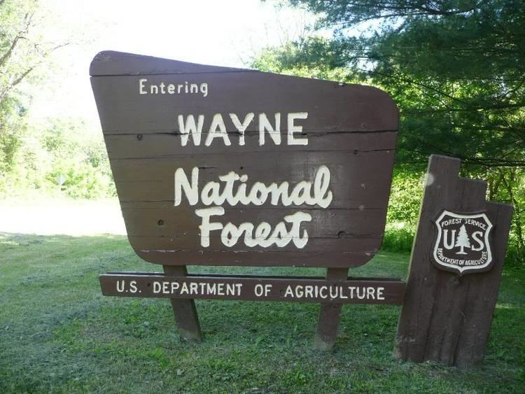
The Wayne National Forest is located in the south-eastern part of the US state of Ohio, in the Unglaciated Allegheny Plateau. It is the only national forest in Ohio. Forest headquarters are located between The Plains and Nelsonville, Ohio, on US Route 33, overlooking the Hocking River.
Contents
- Wayne national forest in 4k best ohio backpacking bushcraft hiking camping lake vesuvius
- Map of Wayne National Forest Athens Ranger District Athens Unit Coal Township OH 43766 USA
- Wayne national forest marietta oh
- References
Map of Wayne National Forest - Athens Ranger District - Athens Unit, Coal Township, OH 43766, USA
The originally forested land was cleared for agricultural and lumbering use in the late 18th and 19th century, but years of poor timbering and agricultural practices led to severe erosion and poor soil composition. The Wayne National Forest was started as part of a reforestation program.
The forest comprises three administrative and purchase units: Athens, Marietta, and Ironton. Many of the lands included in the forest are former coal-mining lands, and much of this land is owned by the federal government without the mineral rights, those having been retained by former owners.
As of January 2012, the forest has 240,101 acres (972 km2) in federal ownership within a proclamation boundary of 832,147 acres (3,368 km2).
The area of Ohio included within the Forest is based on late Paleozoic geology, heavy in sandstones and shales, including redbeds, with many coal beds. The topography is typically very rugged, with elevation changes typically in the 200–400-foot range.
The North Country Trail passes through several areas of the Wayne, in which it is coincident with the Buckeye Trail and the American Discovery Trail.