
Congressional district 6th Website www.gallianet.net Founded 25 March 1803 Unemployment rate 6.0% (Apr 2015) | Area 1,220 km² Population 30,621 (2013) | |
 | ||
Colleges and Universities University of Rio Grande, Gallia Jackson Vinton Joi, Gallipolis Career College Points of interest Bob Evans Farm Restaura, Tycoon Lake Wildlife A, French Art Colony, Our House Tavern, Gallipolis City Park | ||
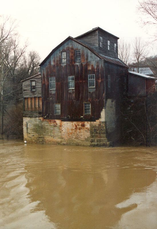
Visit gallia county ohio
Gallia County (pronunciation: GAL-yuh) is a county located in the U.S. state of Ohio. As of the 2010 census, the population was 30,934. Its county seat is Gallipolis. Its name is the Latin word for "France." Gallia County is also known by nickname "Little Cardiganshire".
Contents
- Visit gallia county ohio
- Map of Gallia County OH USA
- Gallia county ohio tornado june 2002
- History
- Geography
- Adjacent counties
- National protected area
- 2000 census
- 2010 census
- Politics
- Villages
- Census designated place
- Other unincorporated communities
- References
Map of Gallia County, OH, USA
Gallia County is part of the Point Pleasant, WV-OH Micropolitan Statistical Area.
Gallia county ohio tornado june 2002
History
Gallia County was formed on March 25, 1803 from portions of Adams and Washington counties. Gallia County was originally settled by the French who gave the county the Latin name for "France."
Geography
According to the U.S. Census Bureau, the county has a total area of 471 square miles (1,220 km2), of which 467 square miles (1,210 km2) is land and 4.7 square miles (12 km2) (1.0%) is water.
Adjacent counties
National protected area
2000 census
As of the census of 2000, there were 31,069 people, 12,060 households, and 8,586 families residing in the county. The population density was 66 people per square mile (26/km²). There were 13,498 housing units at an average density of 29 per square mile (11/km²). The racial makeup of the county was 95.26% White, 2.70% Black or African American, 0.43% Native American, 0.35% Asian, 0.15% from other races, and 1.11% from two or more races. 0.61% of the population were Hispanic or Latino of any race.
There were 12,060 households out of which 33.00% had children under the age of 18 living with them, 56.50% were married couples living together, 11.00% had a female householder with no husband present, and 28.80% were non-families. 25.20% of all households were made up of individuals and 10.40% had someone living alone who was 65 years of age or older. The average household size was 2.50 and the average family size was 2.98.
In the county, the population was spread out with 25.00% under the age of 18, 9.70% from 18 to 24, 27.50% from 25 to 44, 24.20% from 45 to 64, and 13.60% who were 65 years of age or older. The median age was 37 years. For every 100 females there were 95.40 males. For every 100 females age 18 and over, there were 92.10 males.
The median income for a household in the county was $30,191, and the median income for a family was $35,938. Males had a median income of $31,783 versus $22,829 for females. The per capita income for the county was $15,183. About 13.50% of families and 18.10% of the population were below the poverty line, including 25.20% of those under age 18 and 10.00% of those age 65 or over.
2010 census
As of the 2010 United States Census, there were 30,934 people, 12,062 households, and 8,264 families residing in the county. The population density was 66.3 inhabitants per square mile (25.6/km2). There were 13,925 housing units at an average density of 29.8 per square mile (11.5/km2). The racial makeup of the county was 94.7% white, 2.6% black or African American, 0.5% Asian, 0.4% American Indian, 0.2% from other races, and 1.6% from two or more races. Those of Hispanic or Latino origin made up 0.9% of the population. In terms of ancestry, 18.6% were American, 15.9% were German, 15.6% were Irish, and 8.0% were English.
Of the 12,062 households, 31.9% had children under the age of 18 living with them, 51.9% were married couples living together, 11.6% had a female householder with no husband present, 31.5% were non-families, and 27.0% of all households were made up of individuals. The average household size was 2.49 and the average family size was 2.99. The median age was 39.9 years.
The median income for a household in the county was $37,409 and the median income for a family was $46,470. Males had a median income of $39,301 versus $30,068 for females. The per capita income for the county was $20,199. About 15.8% of families and 21.3% of the population were below the poverty line, including 30.7% of those under age 18 and 14.9% of those age 65 or over.
Politics
Gallia County is a Republican stronghold.