
Founded March 1, 1816 Congressional district 6th Area 1,093 km² Unemployment rate 6.9% (Apr 2015) | Largest city Jackson Population 32,783 (2013) University Daymar College | |
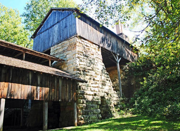 | ||
Rivers Raccoon Creek, Symmes Creek, Little Scioto River Points of interest Lake Alma State Park, Splashdown Country, Leo Petroglyph, Lillian Jones Museum, Buckeye Furnace State Me | ||
Jackson County is a county located in the U.S. state of Ohio. As of the 2010 census, the population was 33,225. Its county seat is Jackson. The county is named for Andrew Jackson, a hero of the War of 1812 who was subsequently elected President of the United States. It is known as "The Little Wales of Ohio."
Contents
- Map of Jackson County OH USA
- Geography
- Adjacent counties
- National protected areas
- 2000 census
- 2010 census
- Government
- Cities
- Villages
- Unincorporated communities
- References
Map of Jackson County, OH, USA
Jackson County comprises the Jackson, OH Micropolitan Statistical Area.
Geography
According to the U.S. Census Bureau, the county has a total area of 422 square miles (1,090 km2), of which 420 square miles (1,100 km2) is land and 1.2 square miles (3.1 km2) (0.3%) is water.
Adjacent counties
National protected areas
2000 census
As of the census of 2000, there were 32,641 people, 12,619 households, and 9,136 families residing in the county. The population density was 78 people per square mile (30/km²). There were 13,909 housing units at an average density of 33 per square mile (13/km²). The racial makeup of the county was 97.89% White, 0.59% Black or African American, 0.34% Native American, 0.17% Asian, 0.02% Pacific Islander, 0.16% from other races, and 0.82% from two or more races. 0.60% of the population were Hispanic or Latino of any race. In 2010 16.5% were of German, 12.9% American, 11.3% Irish, 10.4% English, 5.2% Welsh, 2.4% Scottish, and 1.6% Ulster Scot.
There were 12,619 households out of which 34.5% had children under the age of 18 living with them, 55.4% were married couples living together, 12.0% had a female householder with no husband present, and 27.6% were non-families. 24.0% of all households were made up of individuals and 10.5% had someone living alone who was 65 years of age or older. The average household size was 2.55 and the average family size was 3.00.
In the county, the population was spread out with 26.0% under the age of 18, 8.7% from 18 to 24, 28.7% from 25 to 44, 23.0% from 45 to 64, and 13.6% who were 65 years of age or older. The median age was 36 years. For every 100 females there were 93.2 males. For every 100 females age 18 and over, there were 89.9 males.
The median income for a household in the county was $30,661, and the median income for a family was $36,022. Males had a median income of $30,651 versus $21,546 for females. The per capita income for the county was $14,789. About 13.6% of families and 16.5% of the population were below the poverty line, including 20.3% of those under age 18 and 16.1% of those age 65 or over.
2010 census
As of the 2010 United States Census, there were 33,225 people, 13,010 households, and 9,028 families residing in the county. The population density was 79.0 inhabitants per square mile (30.5/km2). There were 14,587 housing units at an average density of 34.7 per square mile (13.4/km2). The racial makeup of the county was 97.1% white, 0.6% black or African American, 0.4% American Indian, 0.3% Asian, 0.2% from other races, and 1.4% from two or more races. Those of Hispanic or Latino origin made up 0.8% of the population. In terms of ancestry, 16.1% were German, 12.3% were American, 11.6% were Irish, and 10.6% were English.
Of the 13,010 households, 33.9% had children under the age of 18 living with them, 50.9% were married couples living together, 12.7% had a female householder with no husband present, 30.6% were non-families, and 25.9% of all households were made up of individuals. The average household size was 2.53 and the average family size was 3.01. The median age was 39.0 years.
The median income for a household in the county was $34,044 and the median income for a family was $42,560. Males had a median income of $36,910 versus $28,618 for females. The per capita income for the county was $18,775. About 18.1% of families and 23.3% of the population were below the poverty line, including 36.5% of those under age 18 and 11.5% of those age 65 or over.
Government
Jackson County has a three-member Board of County Commissioners that administers and oversees the various County departments, similar to all but two of the 88 Ohio counties.
Jackson County's elected officials are: