
Country United States GNIS feature ID 0453980 Area 97.18 km² Population 10,151 (2010) | ZIP codes 46733, 46772 Elevation 247 m Local time Saturday 11:24 PM | |
 | ||
Weather 9°C, Wind S at 8 km/h, 49% Humidity | ||
Washington Township is one of twelve townships in Adams County, Indiana, United States. As of the 2010 census, its population was 10,151.
Contents
- Map of Washington Township IN USA
- Geography
- Cities towns villages
- Unincorporated towns
- Adjacent townships
- Cemeteries
- Major highways
- Airports and landing strips
- Landmarks
- School districts
- Political districts
- References
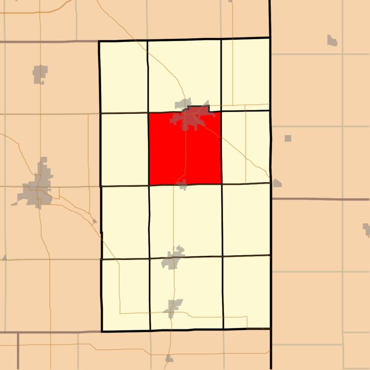
Map of Washington Township, IN, USA
Geography
According to the 2010 census, the township has a total area of 37.52 square miles (97.2 km2), of which 37.49 square miles (97.1 km2) (or 99.92%) is land and 0.04 square miles (0.10 km2) (or 0.11%) is water.
Cities, towns, villages
Unincorporated towns
Adjacent townships
Cemeteries
The township contains the following cemeteries: Antioch (also known as Beery or River Brethren), County Home (or Farm or Infirmary- no longer exists), Greenwood (also known as Decatur or Maplewood), First City (no longer exists), Little Family, and Roe (no longer exists).
Major highways
Airports and landing strips
Landmarks
School districts
Political districts
References
Washington Township, Adams County, Indiana Wikipedia(Text) CC BY-SA